
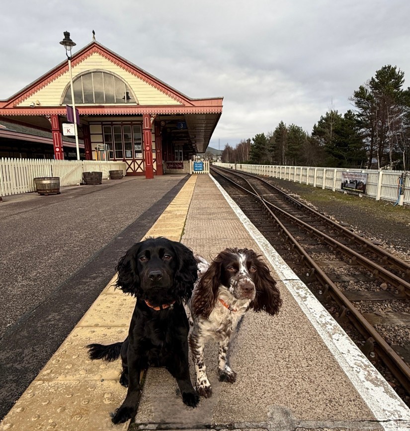
Distance: 4 ¾ miles. Time: 2–3 hrs. Terrain: A mix of woodland and grass paths, pavement, and some road walking. Access: Car parking is available on Grampian Road (PH22 1RH), a short distance from the start. Trains to and from Inverness run regularly, and various bus routes, including those to Grantown, Carrbridge, Kingussie and Inverness serve the start of the walk. Both the train station and bus stop are located at the walk’s starting point. Toilets can be found next to the car park and at the train station.
In the heart of the Cairngorms, Aviemore is a wonderful town to explore at any time of year. Several waymarked trails can be accessed from the town centre, including the Craigellachie Nature Reserve and the Speyside Way. This circular walk takes you around the edge of the town, following parts of the Orbital Trail and National Cycle Route No. 7.
Starting on Grampian Road outside the train station, turn left and head toward the petrol station. When it is safe to do so, cross the road and continue walking past the Happy Haggis Chip Shop. After the waste ground beside the chip shop, take the road leading up to the youth hostel. You’ll find a track to the right of the youth hostel, follow it until you come to the tunnel for the Craigellachie Nature Reserve.
To the right of the tunnel, you’ll see some steps and a sign for the Aviemore Orbital. Head up the steps and follow the waymarked Orbital Trail. This part of the walk is marked by green Orbital marker posts. You will pass behind the Macdonald Hotel and the Scandinavian Village.

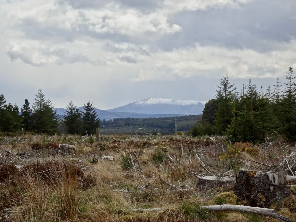
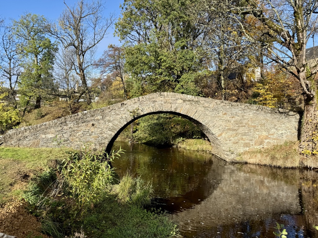
Continue along the waymarked Orbital Trail through the woodland, passing a large wooden outdoor learning gazebo. You will walk over a bridge crossing Butcher’s Burn before reaching Old Meal Road. The track begins to curve to the right, offering fantastic views of the Cairngorm Mountain range.
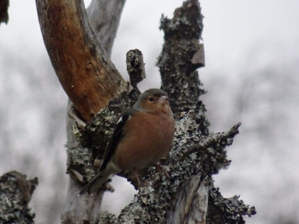
Soon, you will reach a main road, be cautious while crossing and rejoin the trail on the other side. In this section, you may spot plenty of birds in the trees—perfect for keen birdwatchers. You will come to the first train track, where a bridge takes you under the railway. Shortly after, you will pass under a second train track.
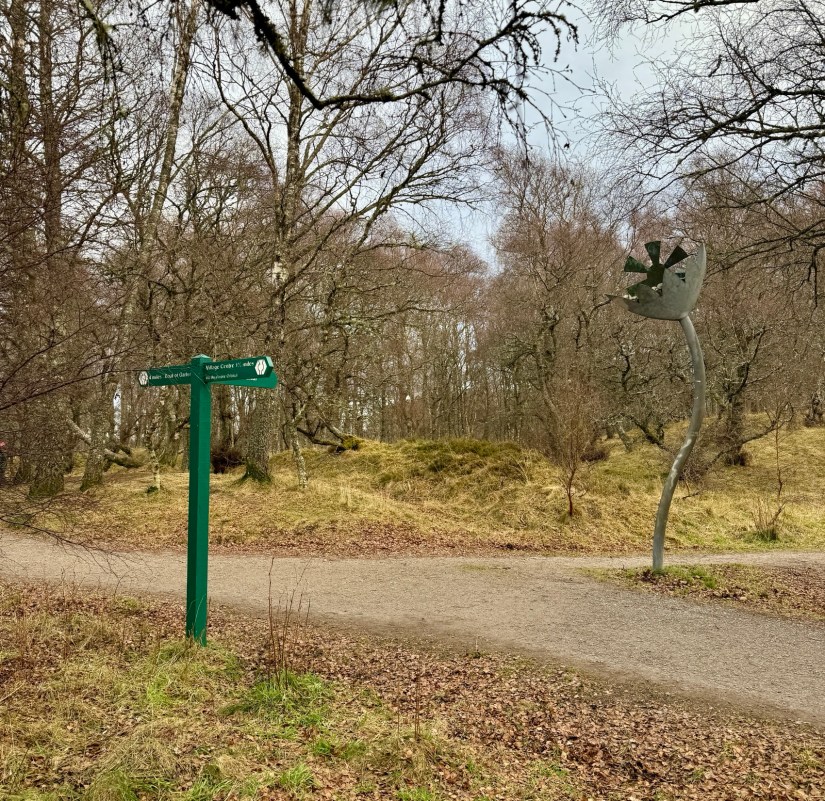
Continue along the trail until you reach a junction with large metal flowers. Here, follow the track that points to the Orbital Trail, but this is also where you join National Cycle Route No. 7.
At the end of the track, you’ll find the golf club near the River Spey. Turn right here to a small car park area with a blue signpost for Cycle Route No. 7. Follow the road along Spey Avenue until you reach Dalfaber Drive. Turn right, then take the next left onto Dalnabay. Continue along this road, following the Cycle Route No. 7 signs.
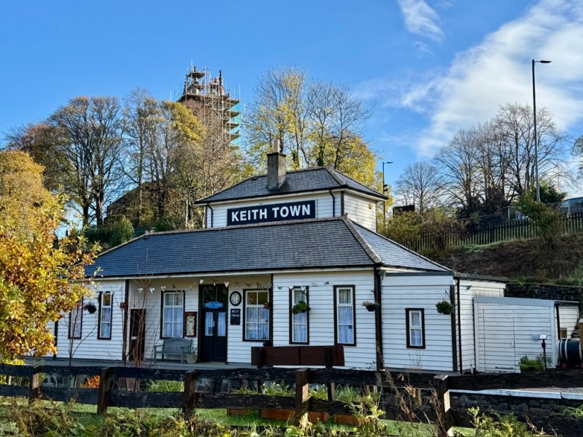
You’ll pass a quiet housing estate before reaching a wooded area that leads to Dalfaber Road. On your left, you’ll see the sheds for the Strathspey Railway—look out for some old trains as you pass.
Further along, you’ll come to an underpass for the railway line on your right. To the left of the underpass, you’ll find a path leading to the Strathspey Railway car park. If you time your visit right, you might even spot the Strathspey Railway steam train.
Finally, take the steps over the railway line, which will bring you back to the starting point of the walk.