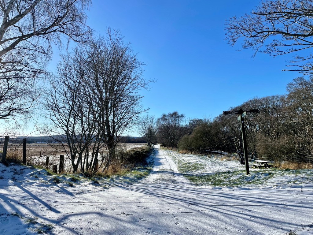

Distance: 5 miles. Time: 2-3 hrs. Level: Easy, with some elevation. Terrain: A mixture of road, grass track, and well-maintained paths. Access: As you travel along the B9031 from Macduff, you’ll see a signpost for St John’s Church (AB45 3ES) on the left. Shortly after, you’ll find an old quarry on the right, which is the best place to park. The What3words location for the quarry is: ///townhouse.inhabited.note
Please note, there is no direct public transport to the start of this walk. However, you could take the No. 273 bus to Gardenstown and walk to the church from there, although the path may be overgrown in places.
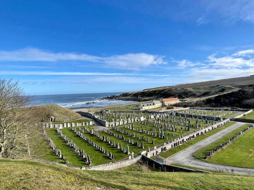
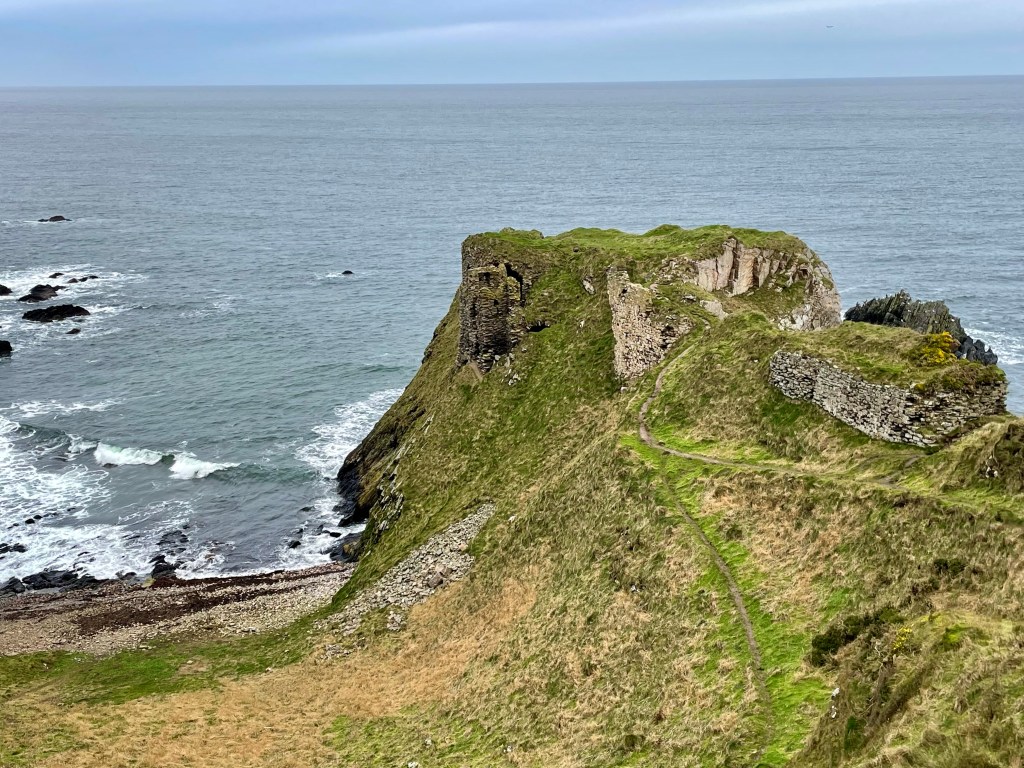
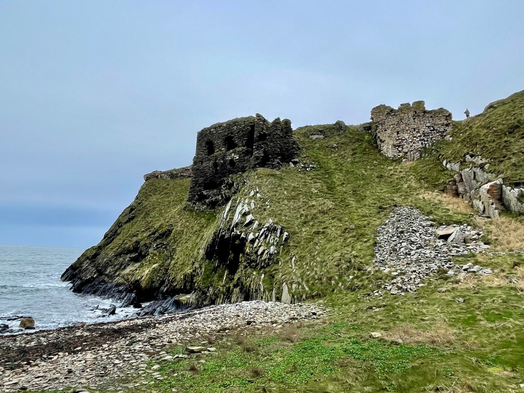
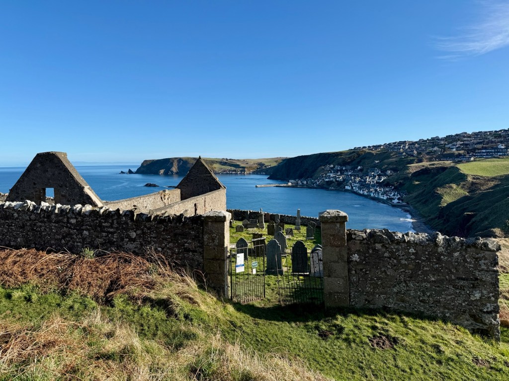
This is a beautiful circular coastal walk with stunning views and a fascinating slice of local history. At its heart lies the atmospheric ruin of St John’s Church, better known as the Kirk of Skulls, perched dramatically above Gamrie Bay.
Start at the old quarry parking area and carefully cross the road to join the small road signposted for St John’s Church. Follow this road as it winds along past the church’s own small carpark. Although you can park here, the rough condition of the access road makes the quarry a better option.
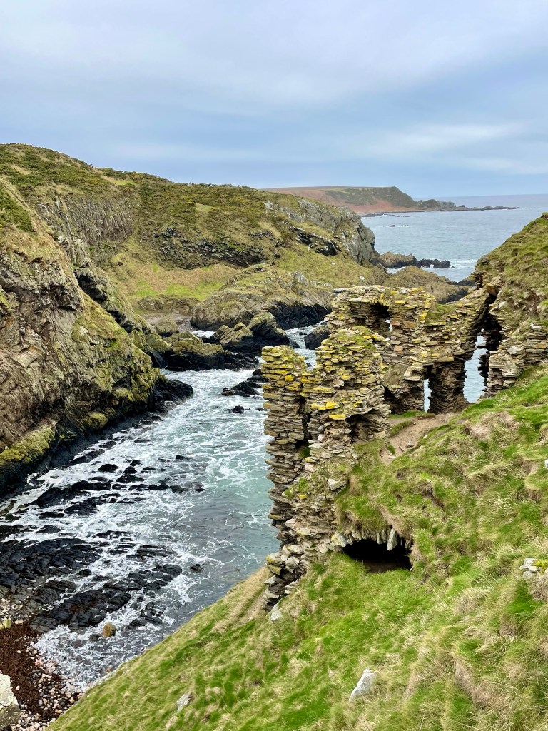
Continue along the track beyond the carpark until you reach the ruined church and graveyard This is St John’s Church, a historic 11th-century site dedicated to St John the Evangelist. Most of the ruins visible today date from the early 1500s, with later additions in the 17th century.
The nickname “Kirk of Skulls” comes from a dramatic local legend linked to a battle in 1004 AD, the Battle of the Bloody Pits. According to tradition, a Viking fleet sought shelter along the Banff coast during a fierce storm. Short on supplies, around 600 Vikings landed near present-day Gardenstown, hoping to raid the area. Unbeknown to them, the Thane of Buchan had anticipated an attack and assembled a strong local force.
A brutal battle followed, ending in the Vikings’ defeat. The heads of three Viking leaders were said to have been displayed within the church until the 19th century, a gruesome detail that inspired the church’s eerie nickname.
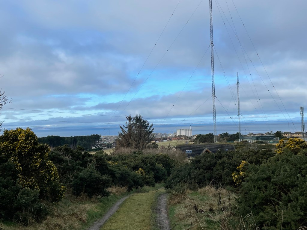
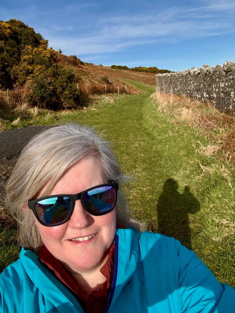
After exploring the ruins, continue a short way beyond to a bench with a panoramic view of Gardenstown, locally known as Gamrie. Retrace your steps slightly to the map board, then head up the well-maintained footpath. There is a steady climb here as you make your way inland.
At a junction, take the left-hand path. After passing a farm, continue on the right-hand path, which leads past a row of wind turbines.

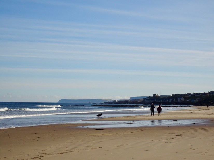
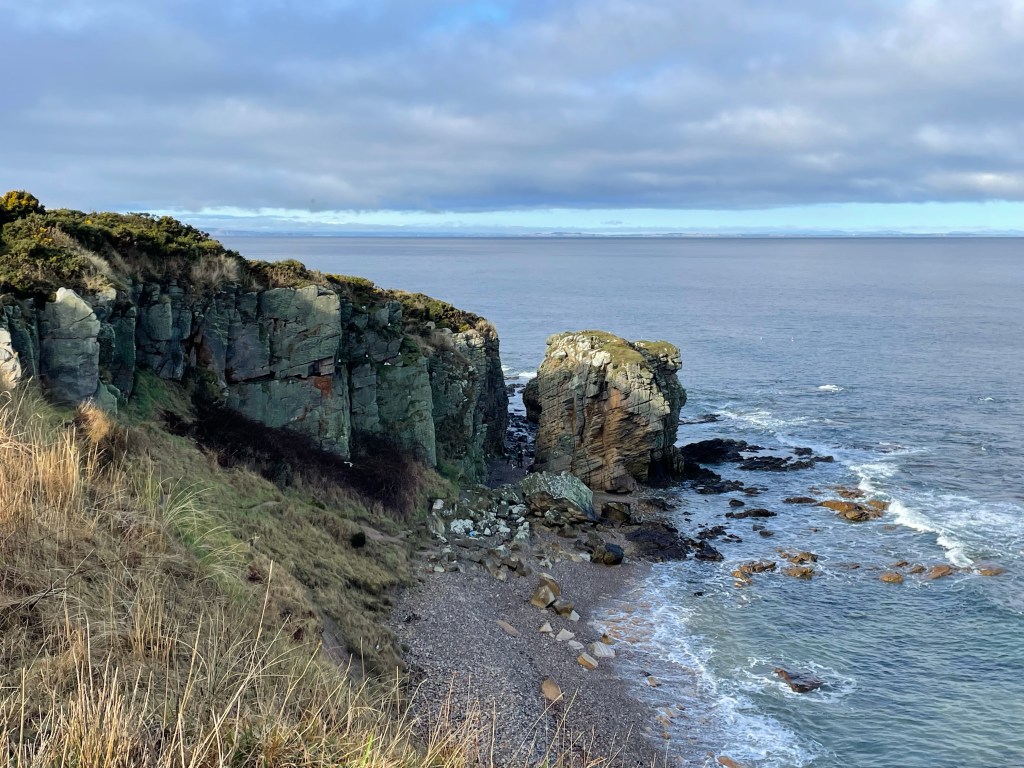
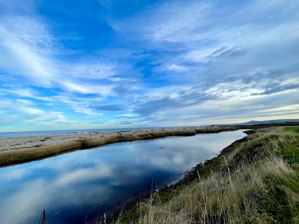
Once you reach the coastline, pause to soak in the spectacular views across the Moray Firth. Turn right here to follow the coast back toward Gardenstown, with views of Crovie appearing along this stretch.
Eventually, the path swings back inland. Before you reach the previous junction, take the left turn which leads you back down toward the church. From there, simply follow the road back to the quarry, where your walk ends.

This circular route offers a rich mix of history, coastal beauty, and peaceful rural scenery. It’s an ideal walk for a sunny morning or afternoon, just be sure to bring sturdy footwear and a camera for those views.