Highlands Walks, Places to Walk

Caledonian Canal, Muirtown Point and River Ness Circuit

Distance: 7.5 miles Time: 3hrs Level: Easy longer walk Terrain: Pavements and walking paths Access: City parking is available at Rose Street IV1 1NQ. There are regular stagecoach buses and trains into the city centre from several areas. If you would prefer to find free parking you can adjust the walk a little and start your walk after the Ness Islands as there is plenty of parking around the skate park area IV3 55P.

This is a fantastic route that starts in the city and takes you along some of the beautiful waterways of Inverness. Along the way you will find some beautiful views and plenty of wildlife.

Start your walk at the bottom of Bridge Street carefully cross the road and turn left to follow along the river side. You will start to see the blue waymarker for the Great Glen Way. You will pass by several hotels and will soon come to the magnificent Faith, Hope and Charity statue that was originally on top of a building on the high street before being sold. It was returned to Inverness in 2011.

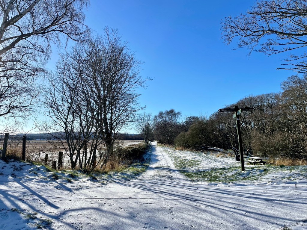
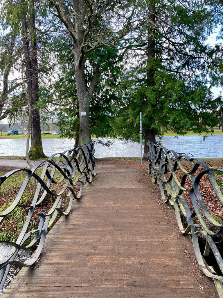
Carry along the river side path passing the footbridge and the war memorial. You will arrive at the Ness Islands. These are a collection of natural islands on the river that are accessed by bridges. Weave your way round the paths exploring the area before getting to the access suspension bridge at the end.

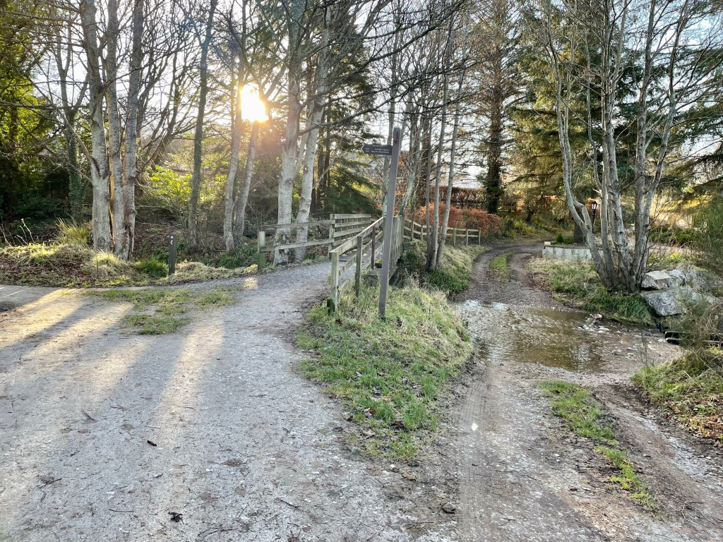
Take a left at the bridge and walk along the path till you come to the Whin Park gate. Turn right here passing the edge of the rugby pitch. Keep going you will soon see the underpass where you can get across the road safely, once through take the next underpass to your right. You have arrived at the canal. Cross over the bridge and take the path that runs alongside the caravan park.

You will follow this path all the way to the Muirtown Basin. There is a small section that passes the back of the marina where you will need to be careful as there may be vehicles on the move. Once you pass the canal locks the path will turn to the left and keep going till you come to the gates at the train track. Carefully go through the gates.

Here you can walk right up to Clachnaharry sea lock where you will get a cracking view of the Beauly Firth and Ben Wyvis. This is where the canal ends. Cross over the lock walkway and turn right heading back down the canal, then cross back over the railway line. Shortly after you will take a turn to the left to head for the pier.

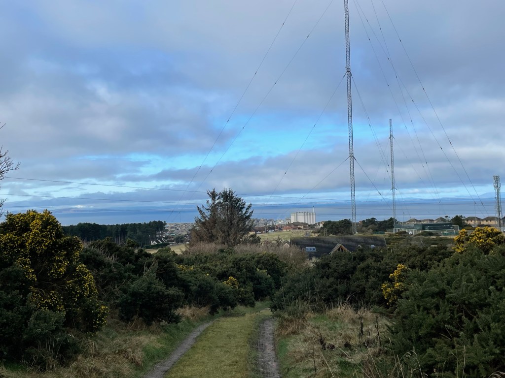
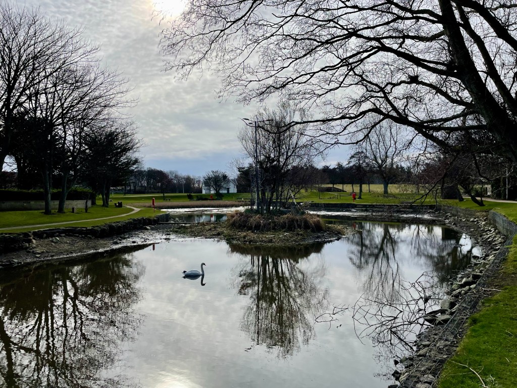
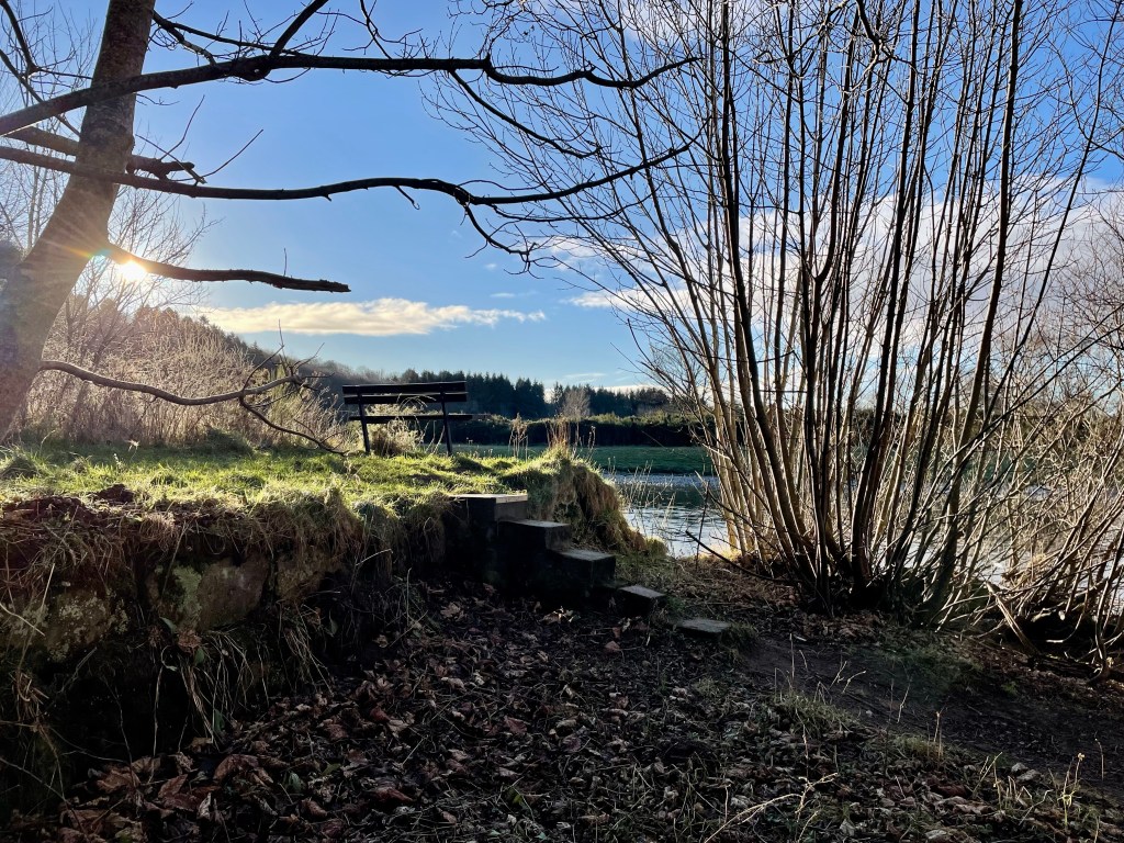
Keep your eyes peeled for wildlife. There were plenty of wading birds when I passed and there are nice viewing areas if you want to hang around and observe them. Once you arrive at the car park and pier, turn right here and follow the road until you come to the gates of Carmarc Point. Head through the gates and up to the point, this is a great place to get some photos of the bridge. The Kessock bridge was opened in 1982 and is sometimes known as the gateway to the highlands. There is plenty of seating here, so a great area to stop for a snack before heading back into the city.

Come back out Carmarc point the way you came in and take a left, walking alongside the harbour you will come to a fork but keep left and you will pass under the railway line and then under the main road until you come to the suspension bridge.

Here you will get a great view of the city and of course Inverness castle. Head over the bridge and you will return to where you started.

Moray Walks, Places to Walk

Burghead and Clarkly Hill Circuit

Distance: 4 ¾ miles Time: 2hrs Level: Easy with some elevation Terrain: Mix of pavements, coastal trail, woodland trail, and country road. Access: Arrive by car, parking available at the opening of the caravan park. Follow the signs for the caravan park and use the car park on the left-hand side using postcode IV30 5RP. There is a No32 Stagecoach bus from Elgin that drops off not far from the start.

This beautiful walk on the Moray coastal trail takes you along past the harbour and on to the old railway line path with a stunning coastal view and a chance you may see dolphins passing by. There are an abundance of historical sites along the way with great information boards!

Route: Leaving the car park follow the path that takes you along to the harbour. The harbour itself was built by Thomas Telford in the early 1800’s with impressive three storey warehouses. Three of the warehouses still remain and have now been converted into flats.

Once you pass by the warehouses take the stairs up to some great views of Burghead bay. Turn right along to the visitors’ centre in the old white round building, here you can find out about Pictish Burghead dating back to 400AD.

Once you have explored the centre, head towards the old anchor and you will see the Clavie mound. This is where on the 11th of January every year Burghead celebrate their New Year with a unique fire festival called the burning of the Clavie. The significance of the 11th January dates back to the 1750’s

From the Clavie mound, head towards the waterside and turn right along the tarred road, where you will find the Harvest Reaper boat that was originally built in Fraserburgh in 1931 and was finally berthed here in 2015. There are always plenty of seabirds to look out for as you walk along the water’s edge.

Further on you will pass by the Maltings and on to the coastal path. You will come to St Aethan’s Well and onto the disused quarry.

There are several way markers for the Clarkly Hill short walk, ignore these. You will pass under an old railway bridge before coming to the Cummingston Crag. The sandstone crag is a popular sea cliff for mountain climbers, and you may see some climbing the Prophet Walls (as it is known) as you are walking past!

Once under the second old railway bridge you find an opening on the left-hand side; this path will double back before going over the top of the bridge. Head straight on here until you arrive in Cummingston.

At the junction you will see the sign post a little to the left for Clarkly Hill. Cross over the main road and up the country road ahead. Looking over to the left and you will get some great views of Hopeman in the distance.

You will soon come to your next way marker taking you onto a track on your right. This will take you past a pig farm before coming to your hext sign post. Here you will go through the gate and straight ahead into a wooded area.

The viewpoint is unfortunately overgrown now, turn right at the fence and follow the path through the wood till you come to the gate at the other side.

From the wood you will carry on down the road back towards Burghead taking in the views ahead. Once past the masts go through the gate and back to the main road. Cross over and turn left here until you come to the junction to turn right, back in to Burghead.

Follow the main road back until you come to the community gardens. From here turning left to arrive back at the carpark.

Aberdeenshire Walks, Places to Walk

Delgatie Castle and Woods

Distance: 2 ¾ miles Time – 1 ½ hrs Time: 1.5-2 hours Level: Easy with a little elevation Terrain: Well walked forestry paths can be a little wet under foot in places. Access: Arrive by car. To reach the start of the walk from Turriff take the A947 towards Banff.

Approx 1 mile along the road there is a sign post for Delgatie Castle to the left take this road for approx 1 ½ miles.The Castle is well sign-posted and can be seen from the road on the right. You will turn into the entrance to where the Castle is sign posted and there is ample parking and a forestry information board. Delgatie Castle and Woods is a stunning walk that takes in not only a walk in the woods, you also go past Delgatie trout fishing pond where you can see ducks and swans, then round the grounds of the stunning Castle that dates back to 1030. What is visible today is from around 1570 with later wings added in 1743.

Delgatie Castle from the Woods

Route: From the car park you will see some steps at the left, head up the steps following the red way markers. Just after the steps there is a path to the right that is worth a detour where you will find the hidden ice house which would have been used to store perishable foods in bygone years. Back on the main path there is another detour to the right, a great opportunity to get your camera out as there is a great view of the Castle. On the main path again continue straight uphill and into the woods. The path will take a right then a left, keep following the main route with the marker posts.

Delgatie woods

The path will curve to the right again and you will come to a junction, you take a left here following the blue marker post. Keep your eyes peeled for red squirrels, along with plenty of other wildlife, while you are walking throughout the woods. I was lucky to see a large bird, possibly a buzzard as I left in the car. The path carries on through the woods until it will take a right and it will carry on close to the edge of the woods. To your left there will be great views of Bennachie, there is a small detour path where you can take great photos of not only Bennachie but if you look to your right, Ben Rinnes is also visible. The path eventually reaches a car park to the left, continue downhill until you reach a track, you take a left here on to the road. You will pass by the Fishing pond and keep a look out for ducks and swans on the water. Shortly after you pass the pond you will return to the carpark.

Delgatie trout fishery

At the carpark you have now an opportunity to walk round the Castle grounds, please be aware no dogs are allowed around this area. If you choose to go round the grounds take a left in the carpark past the Cottage and Dovecot. Head up the stairs, the road takes a loop right round the Castle grounds before you will come over the cattle grid then return back to the carpark.

Delgatie Castle

You can extend your visit and take a tour round the Castle and treat yourself to tea and cakes in the Castle’s very own tea room the Laird’s Kitchen. Open 10am – 4pm daily.

https://delgatiecastle.com/

Highlands Walks, Places to Walk

Anagach woods and the Old Spey Bridge Circuit.

This is a beautiful walk in the woods of Anagach in the Speyside town of Grantown on Spey combined with a walk along the banks of river Spey! There is plenty of wildlife along the way with fantastic paths! Some of the Speyside Way is included in the route.

Distance: 4 1/2 miles Time: 2hrs Terrain: Mix of woodland trails/paths and tarred road. Level: Easy Access: Arrive by car parking at the parking area at PH26 3JL. The only bus I can find is from Aviemore.

The pebble tree on the route.

Route: At the car park take the road on the right hand side. Follow the track going through the gate and keep going straight ahead till you are almost at the Spey. You will come to a carpark take a left here. A little bit further along there is opening to take you on to the tarred road.

Once on the tarred take a left continue till you you see a opening on the right hand-side to take you down to the water side. From here continue left going over the stile till you get to the Old Spey Bridge.

The Old Spey Bridge

The 3 span bridge was built in 1754 after the rebellion of 1745 by General Wade’s successor, Major William Caulfield, as part of the military road that ran from Coupar Angus to Fort George. It was damaged in the great flood 1829. It was descheduled in 1992.

You will pass under the smallest arch of the bridge and shortly after go through the gate here there may be livestock (sheep when I was there) so please keep dogs on leads. Keep going along the road till you come to the next gate.

Carry on till you come to the wooden cabin on the left. Here you will see a narrow path slightly to the left. Take this path it is a little rough and some tree roots so watch your footing.

The woods!

You will come back on the road again soon and a junction. Take your right here and then at the fork take a left. Head straight on till you come to the junction with the sighs for the Speyside way.

Dixy and Suzi enjoying their walk!

From here turn left and follow the Speyside way back to Grantown. Once back in Grantown once you pass the curling link keep going till you return to the carpark where you began.

Moray Walks, Places to Walk

Through the Green door, Fochabers

This is a lovely short walk round the Lake at Gordon Castle. The green door leads you to the castle grounds where you will find the lake with paddling ducks! Great walk for all the family and short enough for little legs!

The Green Door

Distance: 1 1/2 miles Time: 45 minsTerrain: Mix of grass path and tarred road Access: Arrive by car parking available in Fochabers Square, Moray IV32 7DF. There is also regular no 35 and no 10 Stagecoach buses that drop off and pick up the in square.

Route: From the square head for Duke Street that is to the right of A J Jamieson Butchers and you will see Gordon Chapel straight ahead.

Gordon Chapel

At the chapel you will see the dark green door on the left. Go through the door then take the path to to the left. Keep going till you come to the castle opening. Take a right here over the bridge.

Gordon Castle entrance

Once over the bridge follow the road ahead till you come to a fork take the road on the right. Then take the next right that is sign posted for the Lakeside cottages.

The Lake

You will soon come to the lake. Here you can follow the path all the way round watching the paddling ducks and enjoy!

Once you have walked round you could head along to the Gordon Castle gardens, cafe and shop which is just a little further on the right hand side. To return to the square just retrace your steps back to the bridge and then to the green door.

Aberdeenshire Walks, Places to Walk

Exploring Portsoy

This is a great walk exploring round the sights of Portsoy! Nothing too taxing just a stroll round seeing some of the sights!

Distance: 2 1/4 miles Time: 1hr Terrain: Mix of grass path, pavement and tarred road Access: Arrive by car and head for the The Sail Loft, AB45 2RQ there is parking spaces between the Sail loft and the beach area. There are regular no 35 Stagecoach buses that drop off in the Main Street.

Route: Leaving the car park head towards the bridge and take the road on the left towards the graveyard. At the graveyard you will see a path that skirts round the edge of the graveyard to the side of the burn. Walk along the grass path till you reach the bridge. Head to the right here and keep going.

At the next fork take the path to the right and you will come to a great view of the Sail loft, beach and the opening of St Combs well. Keep going till you get to the silver gate where you can go and check out the well!

St Combs well is said to be first built in the 7th Century. The well 2ft diameter, and still flowing, is now covered by a stone cupola with an arched entrance. It was restored in 1893.

St Combs well

Back on the path head down the steps and back towards the caravan park. Follow the road along past the front of the caravan park. Keep going past the Salmon bothy till you reach the new harbour. Take a left at the harbour along to the old harbour and the dolphin sculpture.

Old Harbour

Once you have explored the harbour area walk up North High Street till you get to the square and then along South High Street till you get to Main Street. From here cross over and head for the sign post for Loch of Soy.

Once through the carpark take the path round the Loch keeping your eyes pealed for paddling ducks and swans. Don’t forget to check out the wooden building beside the Loch that used to be the old railway station building now used as the Scout Hut.

Loch of Soy

Once round the Loch go back out the carpark and take a wander along the Main Street checking out some of the lovely shops or have some Portsoy Ice-cream. You will come to the signs for the Caravan park follow the signs and return to the start.

Moray Walks, Places to Walk

Speybay – River Spey Viaduct Circuit

Distance: 2 miles Time: 1 hr Level: Easy Terrain: Good path, pavement and road Access: Arrive by car there is plenty of parking at the Speybay dolphin centre IV32 7PJ (donations for parking)

This is a fab short circuit walk from Speybay via the Spey viaduct. The walk is all on the flat with a good path so family and buggy friendly!

Route: From the car park head for the information board and you will see the path to the left that runs along the side of the river. Head along the path over the wooded footbridge and keep going!

You will follow this path all the way along till you come a 4 way junction. Take the road to the right just before the sign to take you along to the banks of the river and to get a great view of the viaduct.

To return back to Speybay. Go back to the junction and take the track that takes you to the main road. When you get to the main road cross the road on the the pavement and take a left back towards Speybay.

Once you are back to Speybay take a left at the Bay golf club and head back to the carpark.

Moray Walks, New Walk, Places to Walk

The Intake and Canal Fochabers

This is a beautiful trail that not only takes you along a section of the River Spey it gives you a chance to see the remains of a very interesting hydro scheme that was way ahead of its time dating back to the early 20th century, the initiative came from the Duke of Richmond and Gordon who for some years envisaged his Castle being lit by electricity.

Paved area with rockery at each side with 2 large stones and view of the river spey in front
View of the River Spey

Distance: 2 ¾ miles Time: 1hr Level: Easy low-level walk Terrain: Well walked woodland paths with some tarred and pavement walking. Access: Arrive by car, parking is available at the Speyside Way car park opposite the opening of Gordon Castle at IV32 7EH. There are also good bus links from Stagecoach with a stop near the start of the walk.

Route: At the car park take a left and head towards the memorial gardens where you get an amazing, framed view of the River Spey. To the left you will see some steps, go down them and follow the path along. There is a small opening if you want to get a good view of the fish ladder. Back on the path go over the footbridge at the fish ladder you will see the signpost to the Intake.

Footbridge over the ford, with trees and sun shining through
Footbridge at the salmon ladder

Once over the footbridge you will pass some big houses, then there is a fork in the road, take the right fork towards the wooded area. Once on the wood track you will see a wayward marker post, just after you pass it take the opening to the right on the narrower path. This is where you will first see the derelict canal. The path can be quite uneven here and wet but well worth walking and getting dubby boots for.

Old canal filled with leaves and debris
Old canal

Keep on this path, it will eventually come to the edge of the river where you will get some great views of Ben Aigan in the distance. Follow the path right along the river and you will come to some steps and a bench. This is a great place to stop for a picnic and do some bird spotting on the river.

Small set of steps with grass area and view of the river
Just at the intake

Just beyond the bench you will see a wee opening and a little overgrown path where you will find an information board and the intake where the water came in to power the scheme. You still see the grid that was put there to keep fish and debris out. The water ran along the lade (known as the ‘Canal’) to the power station to drive the turbines to produce the electricity.

Head back to the bench there is a path at the right that will take you along beside the edge of the canal. Keep your eyes peeled along here as there are several scrap cars buried in the undergrowth in the canal which were dumped many years ago. Keep on the same path it will take you back to the wayward marker post where you turned off.

Scrap cars in the undergrowth
Scarp cars

Once back on to the tarred road, at the fork keep right, when you get to the shed at the end of the road turn right on to West St. Halfway along you will see a waterfall on the Burn of Fochabers and a wooden foot bridge running over it. Go over the bridge then take the next right on to George St. This will take you to Fochabers Square. On the other side of the road opposite the fountain you will see a large streetlamp that commemorates the opening of the scheme. Which is a great way to finish the walk.

From the square you can just go along the High St past the traffic lights and bowling green and you will return to the carpark. There are a few cafes on the High St and a lovely ice-cream shop if you fancy some refreshments after your adventure.

Large old light with fountain and town clock in Fochabers Square
The Square Fochabers