
The route takes you through the Den woods, the Falls of Tarnash then on to Dunnyduff woods with a great viewpoint of Keith.
Distance: 3.5 miles Time: 1.5-2 hours Level: Easy with some elevation Terrain: Some pavement walking at start and finish and well-trodden wood paths. Be careful, as round the falls can be slippery when wet. Access: Arrive by car or public transport. Good train and bus links between Aberdeen and Inverness.Parking available at Reidhaven Square, Keith AB55 5AB
Route: The walk starts in Reidhaven Square where you head down toward the building in the middle (what used to be the public toilets/bus shelter)then take a right when you get on to Moss Street.Walk along to the end and at the last house carefully cross the road – it can be busy.
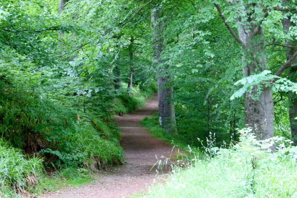
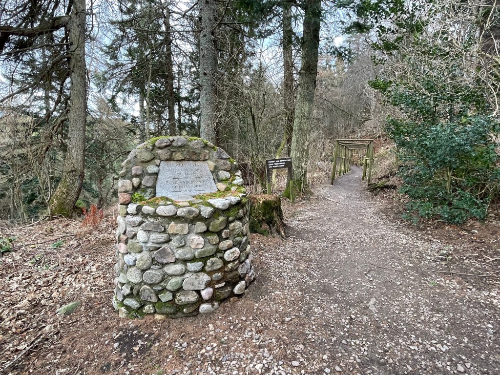
Walk round the right of Dusty’s customs shop and you will see Old Den Road to the right lined with trees. Start walking along there till you pass the last house (Innesfree) and up to the left you will see the path on the left to take you in to the Den woods.
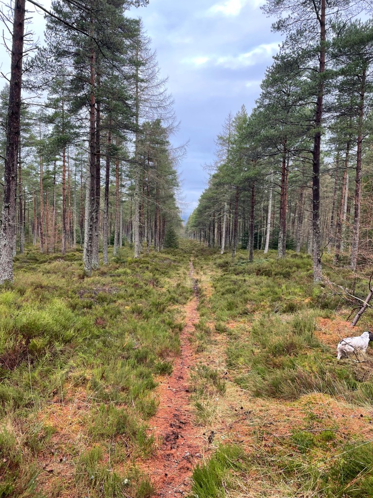
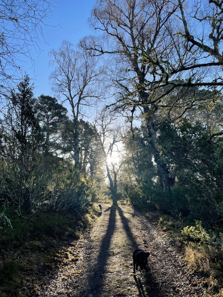
Follow this path right through the woods for about ¾ mile. Please note if you have a dog and they are off the lead there is a section that is close to the road.

You will come to a signpost to the right for Falls of Tarnash and Dunnyduff woods. Take this path going over the wee steen bridge and keep going and you will soon come to the Falls. Make sure you explore a bit round here and take plenty of photos on a nice day as it’s a lovely spot for a picnic and even a paddle.

Get back on to the path and there is a sign post up to the left to Dunnyduff woods. There is a wee bit of elevation here but nothing too taxing.
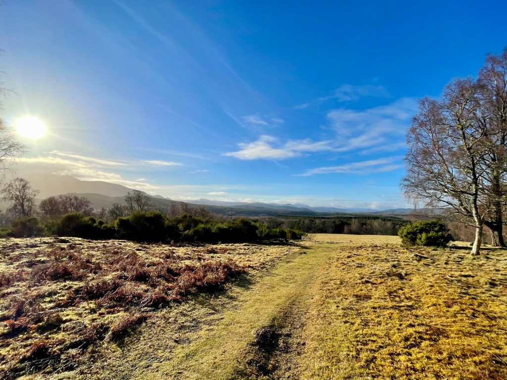
Follow the path which does zig zag a little and keep in the path where you will come to a wee bridge with a handrail. Go straight on here and there is another wee bridge with a handrail: just keep going over the wee bridge following the well-made path. You will come to a bit of clearing where there is a great viewpoint of Keith and Newmill to the left.

The path continues and you will eventually come to steps to descend till you reach a forestry track take a left here. You will come through the carpark and on to the minor road.
Here you can take a left and follow the minor road back or just across the road from the carpark there is an opening and a path that runs alongside the Burn of Drum. This path can be very overgrown in the summer but it’s a great place to see wildlife such as red squirrel and birds as well as lots of wildflowers. I also spotted a buzzard along here too.
Whatever way you decide to go you will come to a bridge to go over and you head up the road till you come to a junction. Take a right here on to Edindiach Road heading back in to Keith. The road turns to the left on to Balloch Road and you will see the square ahead and the end of the walk.