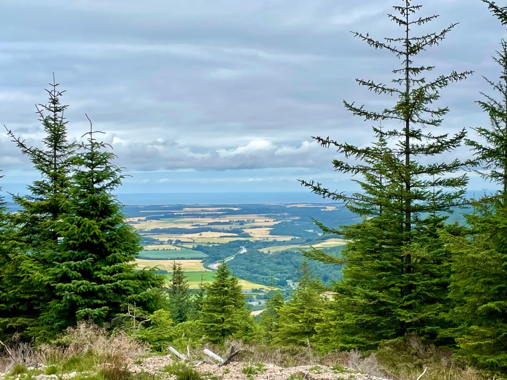
This is a stunning walk with epic views of the Cairngorm’s. Great walk if you want just a wee hill to climb rather than a munro!
Distance: Around 3.75 miles Time: 1 1/2-2hrs Level: Easy with some steep sections Terrain: Well maintained path, tar, grass track and woodland track. Access: Arrive by car parking at the entrance to Dalraddy campsite PH22 1QB.
Route: Starting in the carpark go to your left through the quad bike area and head under the railway bridge. Take a left after the bridge and head through the gate. Keep going till you reach the junction take a right here and head along the tarred road.
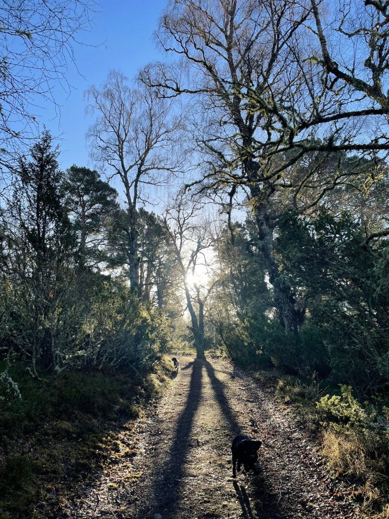
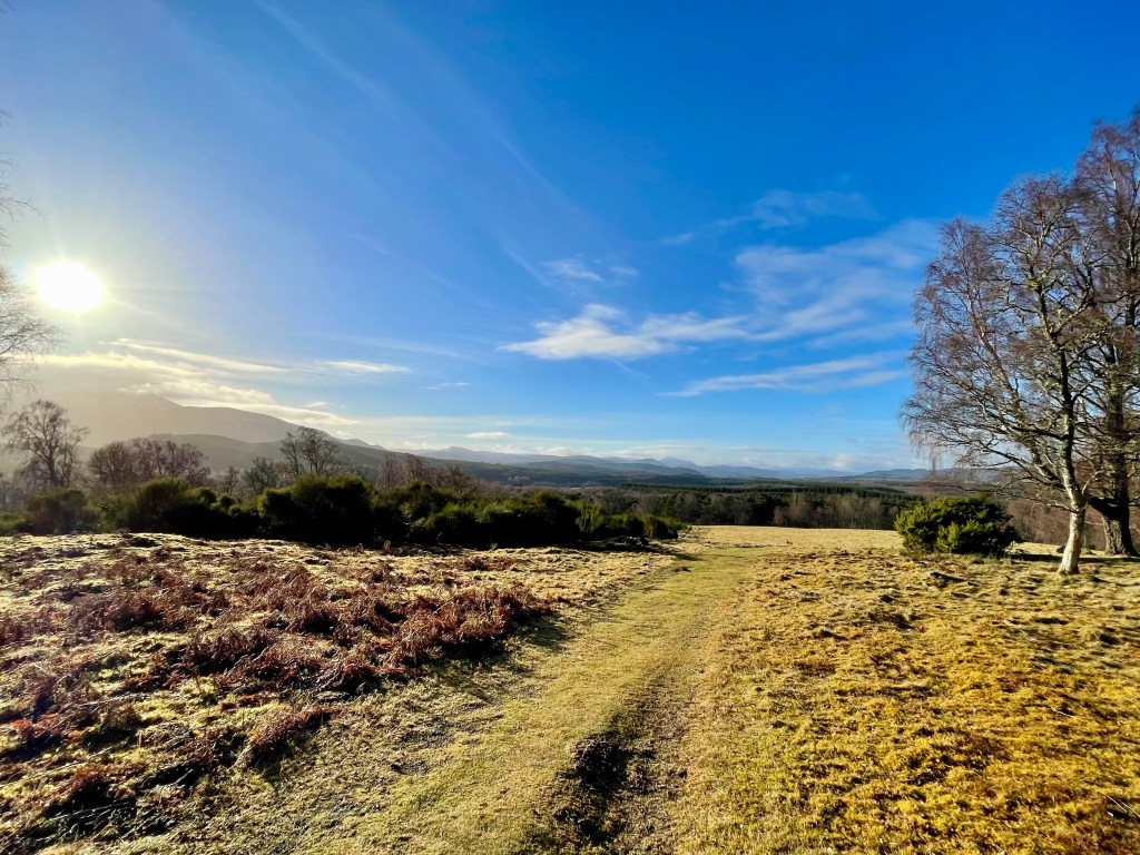
You will reach a fork in the road take the left hand track. Go up the track till you reach the gate and the grass park. Follow the path to the left edge of the park till you reach the opening on your left and the track that takes you in to the woods.
Looking back at the opening
Follow the track till you reach the fork. Take the left fork here and continue straight on. Keep a look out for the Waterloo cairn to your right that is worth stopping at. The cairn was erected by Marquis of Huntly, August 11, 1815 in memory of Robert Macara of 42nd Royal Highlanders, also Of Col. John Cameron of 92nd or Gordon Highlanders and their brave countrymen who glorious fell at the battle of Waterloo June 1815.
The Waterloo Cairn
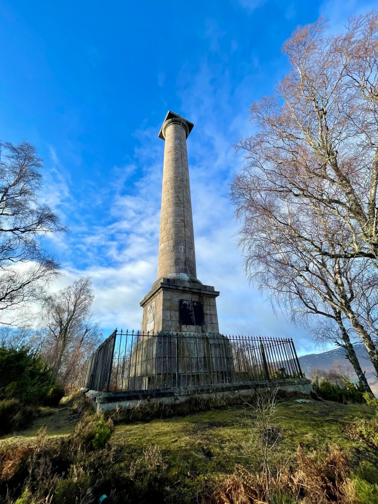
Not long after the Waterloo cairn the monument will come in to view. The track does go down hill a little before climbing back up.
The Duke of Gordon Monument
The track winds its way through the trees till you come to the Duke of Gordon Monument that commemorates the last Duke of Gordon who died in 1836. Once you have explored the area you return the way you came taking in the beautiful views.
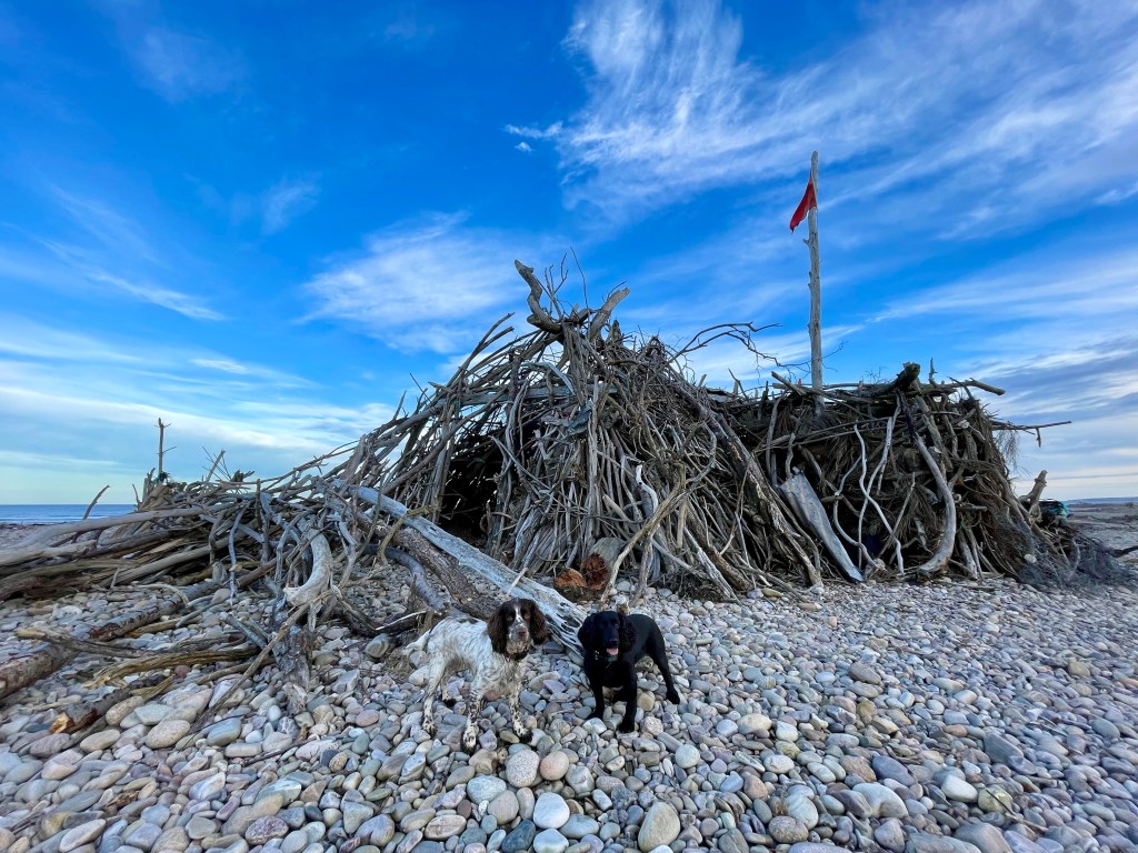
Kingston drift wood hut was built by the locals and is an amazing place to visit. There is something added to it every time I visit!
Distance: 1 1/2 miles Time: 1hr Level: Easy Terrain: Grass track and pebble beach Access: Arrive by car, parking is available at corner Kingston road and Beach road. There is a no 34 Stagecoach bus from Elgin.
Route: This is a fantastic short walk leaving from the car park take the track to the left that runs past the back of the houses. Follow the track right along and it will narrow down to a path.
Kingston
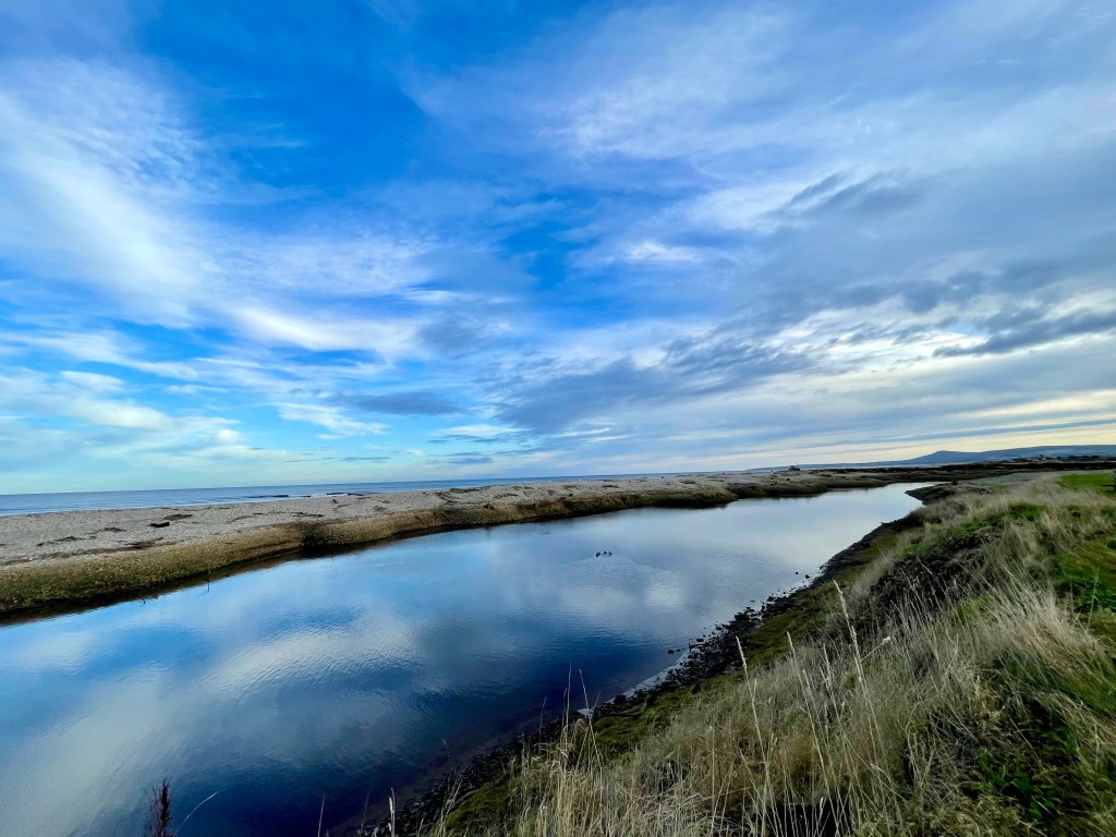
Keep a look out for the ducks paddling in the water to your right.
When you get to the play park turn left and head back towards the beach hut. It is pebbles all the way so not the easiest to walk on so wear good footwear.
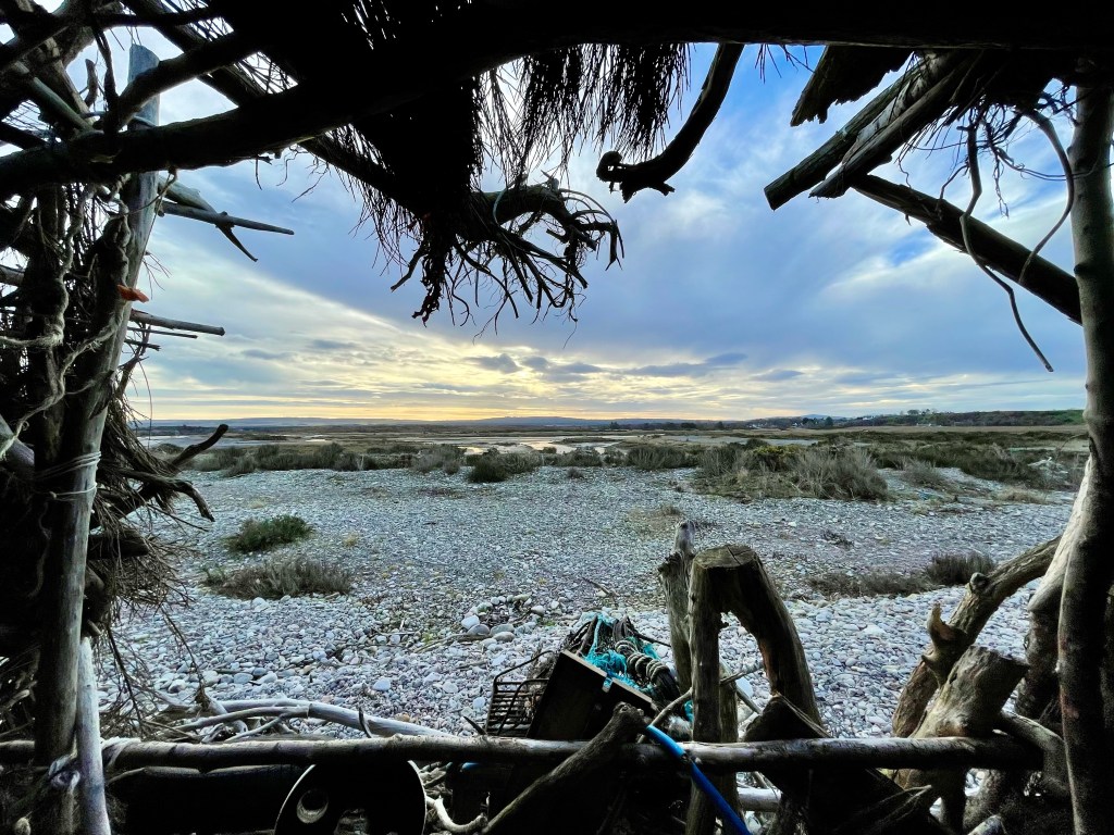
When you get to the beach hut make sure you explore it inside and outside and see if you find the visitor book. Please be respectful while you are there the locals after spent a lot of time and effort to build the hut,
Kingston beach hut
After exploring the area return the same way as you came.
I ventured a wee bit further afield for a change, to Ullapool which we visit on a regular basis. Ullapool is on the North Coast 500 route and is one of the larger towns in North West Scotland with a busy ferry port and harbour. There is a great selection of places to eat and stay. Overlooking Ullapool is a hill called Cnoc na Croiche also known as Ullapool Hill which is a short but steep climb with very rewarding views.
Distance: 2.25 miles Time: 1hr Level: Easy with some steep parts. Terrain: Mix of pavements, well walked paths and uneven paths. Access: Arrive by car, parking is available in the long stay car park beside Tesco IV26 2XB. There is a regular stagecoach bus from 42 Inverness
Route: I am starting my route from the harbour on Shore Street in the centre of Ullapool. Cross the road at the boat trip and bike hire cabins and head up Quay Street past the Fish and Chip shop, try and resist the smell that is guaranteed to make you hungry. Take the third road on the right called Market Street and follow it to the end, before turning left and heading up Mill Road.
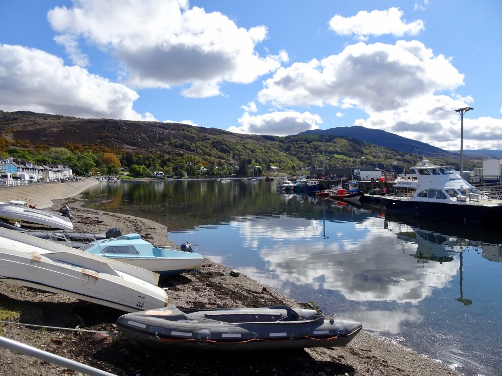
Ullapool harbour
On your right, just after you have passed Highland Stoneware and Broom Court, you will see a gate and a signpost for Ullapool Hill. Go through the gate and you will start the short steep climb, but there are plenty of benches to stop and catch your breath. You will pass a path to your right, ignore it, but not long after you will take a turn to the left and you will head further up the hill.
Path on Ullapool hill
You will come to a bench with a path on the left and one behind, take the path behind the bench. The path becomes rougher so watch your step. You will see a pile of stones to the right but keep going along the path till you reach a slightly overgrown viewpoint stone, although the views are great here they are better further along the route.
Just past the pile of stones that is to your left, the path will become rougher again and you will need to watch your step to get you down to the bench, where in my opinion you get the best views of Ullapool and Lochbroom.
View of Ullapool
If it isn’t windy this is also a great spot to stop for a snack and wee rest before you head back down the hill. If you time it right with the ferry times, you may see it coming in or leaving, or if you are really lucky, you may even see one of the cruise ships that visit Ullapool.
You will see a rough path to the right, take it and it very soon returns you to the bench before the viewpoint. Take a left here and head back down the path.
Take the path on the left just beside the viewpoint, this will take you to the best view.
Keep going back down the track, a little after the left turn in the path you will see an opening that takes you down to a wooden bridge. Once over the footbridge you carry on descending till houses come into view and you come to a gate. Once through the gate follow the road and you will quickly find yourself at the back of The Royal Hotel on Shore Street.
Ullapool harbour
I would recommend crossing the road here to admire the boats in the harbour. It is a great chance to get some more lovely photos before returning to your starting point and time for a well-earned Fish and Chips.
I headed to Cullen for this walk but rather than going to the beach I headed up to the woods for a stroll round Crannoch wood and loch. With some beautiful views of the sea and the Bin Hill. This is quite a short walk and perfect in any season. Wear suitable footwear as maybe a little muddy.
Distance: 2.75 miles Time: 1hr Level: Easy with some elevation. Terrain: Grass track, woodland trail and pavement Access: Arrive by car parking is available in the square. There is a regular number 35 bus running from Elgin to Aberdeen.
Cullen and The Bin Hill
Route: The walk starts off in the square in Cullen head up Seafield Road past the Antiques Centre and then take a left along Seafield Place. When you reach the corner before heading along Logie Drive take a right up the grass track. There is a waymarker here. At the junction at the top take a right going away from Cullen.
A little ahead you will come to a gate go through the gate and turn left and go towards the ruined Logie House that you can see in the distance.
Logie House Ruin
Just before you come to the ruin take a right at the waymarker, then take another right as you head towards the woods. When you reach the woods take a left when you see the path into the woods, then follow the track it will turn to the right Go past the small Loch I did explore a little here. Get back on the track and keep going straight ahead.
Crannoch Loch
You will pass the Den!
At the next junction take a right to return to Cullen. You will go over the bridge of the old railway line then skirt past a small carpark before reaching the outskirts of Cullen.
Careful walk along the track next to the road till you return back into Cullen and back to the square.
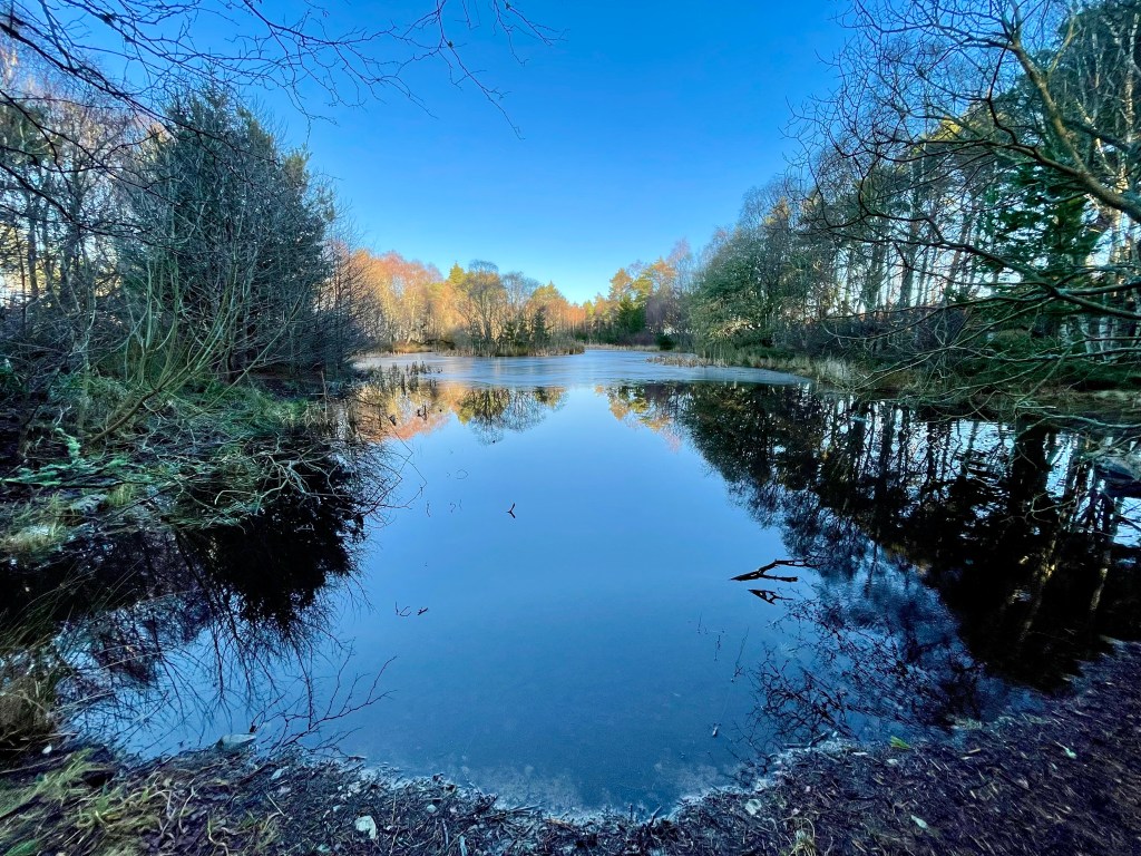
I headed to the beautiful Cairngorms for this walk which takes in Loch Insh, the stunning Uath Lochan’s and the River Feshie. This is a very peaceful walk in the wilderness with plenty of opportunities for wildlife spotting. I had several sightings of birds of prey along the way.
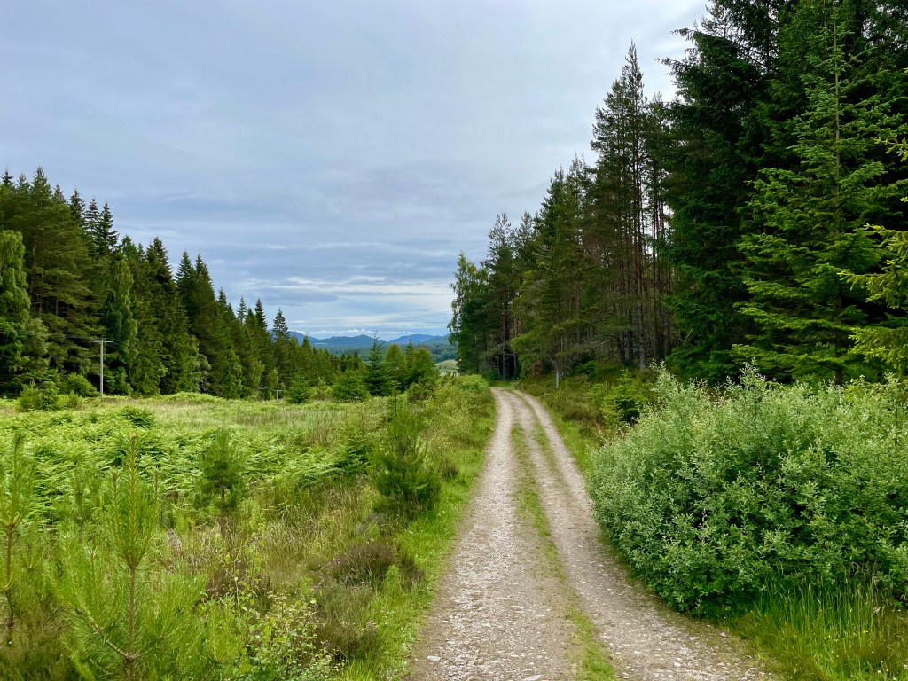
Distance: 7 ¾ miles Time: 3 ½ – 4hrs Level: Easy long walk with some elevation. Terrain: Mix of forestry track and paths with a small amount of quiet road walking. Access: Arrive by car following the signposts for Kincraig/Loch Insh outdoor adventure centre PH21 1NU. I did ask permission to park at the centre. There is a regular Stagecoach No 35 bus from Aviemore which is about a 20min walk from the Outdoor centre.
Loch Insh
Route: The walk starts off at the Loch Insh Outdoor Centre which is a fantastic facility offering a large array of activities as well as accommodation.
In the car park head down to the shore and you will see a sign for the Loch side trail which is part of the Badenoch way. This is a very well waymarked and easy to follow section with great views across the Loch and the first opportunity for wildlife spotting.
On the trail
Leaving the waterside carry on following the waymarkers through the woods till you come to a road with a house opposite. Cross the road here and turn right just after the house you will find an opening to re-join the path. The path is rather narrow here but only for a short time.
Keep on the waymarked trail and you will come to a fork and take the path to the left here. There is a long straight section, the Badenoch way turns off here to the right this is where you leave the way as you will carry straight on. About 250 yards after the Badenoch way turns off , you will take a left turn where you will find red trail markers.
View of Loch Insh
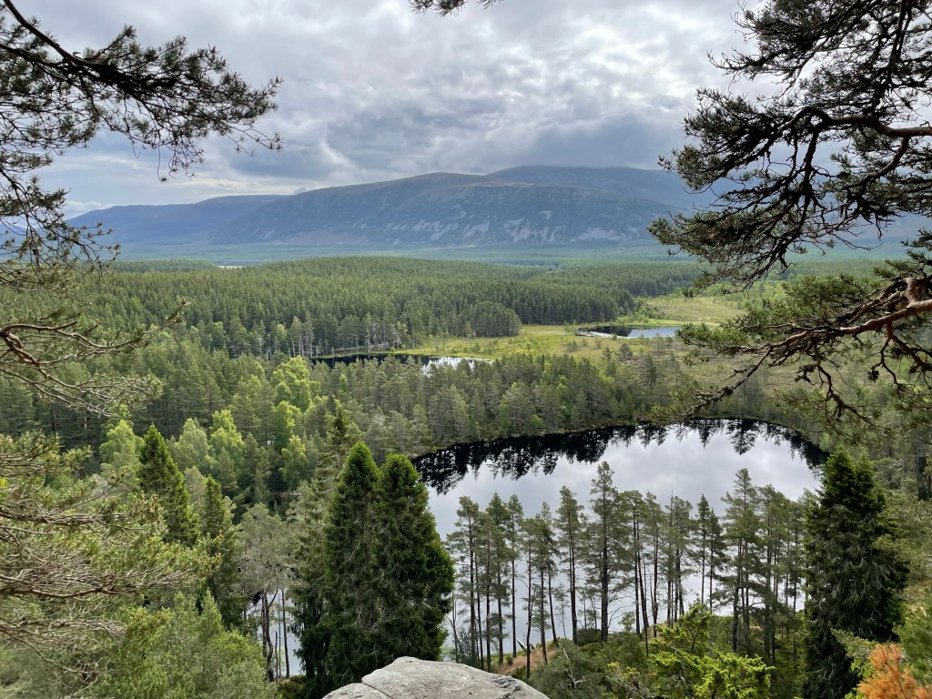
Here you will head up in to Farleeitter Crag where you will find a fantastic view of Loch Insh before you are looking down on the Uath Lochan’s once you have enjoyed the views the trail will start going downhill till you come to a junction take a left here after a short walk you will come to another junction where you will take a right to take you to the Lochan’s. This is a fantastic place to stop for a picnic with stunning views.
Uath Lochan’s
Carry on the trail before taking the next left, you come to a road. Take a right and walk along the road for a short stretch till you come to an opening to a house road end. Go into the opening and turn to your left you will find a right of way sign. Follow the sign passing by the houses. You will come to a U-shaped house, take the path to the right here. Carry on till you come to the side of the River Feshie. As you walk along the path and you will feel like you are in total wilderness with only the wildlife for company. There are plenty of opportunities if you want to dip your feet in the beautiful clear waters.
River Feshie
Keep following the path right along the riverside till you come to some houses then Feshie bridge on your right. You will find a path just along from the bridge to the right of the road.
Frank Bruce Sculpture Trail
Follow the path along till you reach a small car park which then leads you to the Frank Bruce Sculpture Trail which is starting to be reclaimed by nature as it was meant. The trail is worth the detour or take the path to the right which you will find is waymarked for the East Highland way. Follow the waymarkers you will come to a farm, the path will take a left before reaching a junction.
Loch Insh
At the junction take a right joining the Badenoch way again which you will follow till you return to the Loch Insh Outdoor Centre. Which is now a perfect time for coffee and cake at the Boathouse Bar and a well-earned rest!
This fantastic hike not only takes along a walk in the woods you will also experience some amazing views right out to the coast and the River Spey. Passing by the Knockmore tv mast before coming to the summit of Ben Aigan with 360 degree views of Moray.
Distance: 7 1/2 miles Time: 3 1/2-4hrs Level: Easy long walk with elevation. Terrain: Forrest track and paths some can be uneven Access: Arrive by car, from Keith at Mulben cross road take a and head towards Craigellachie about 1 1/4miles along the road there is a opening on the right. Turn into the opening and head up the track ignore the turn to the right. After a short time you will come to a carpark for about 6 cars at the left.
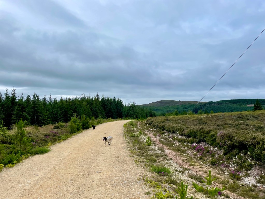
Route: Leaving the car park head to the forestry road to the left after about 3/4 a miles the road bends to the left and you will head further into the woods. The road will climb steadily. Don’t forget to look back and admire the views.
The Knockmore mast will come into view on your left before finally reaching it around 2 miles in to your walk.
Once you are past the mast carry on along the forestry track you will go down hill for a short time before it starts to climb again. You will come to a large cleared area and shortly after there is a track to the left ignore it and keep on the track.
About 3/4 mile along this section you will find a fantastic view of the River Spey and if you look hard enough you will see the Boat a Brig.
Shortly after there is a junction with a narrow path to the uphill to the left and downhill to the right. Take the path to the left. This is a short but steep section but you will soon come out the trees as you head to the summit.
You will come to a fork, take the fork to the right which will take you right up to the summit where you will find the square trig point.
After you have enjoyed the views head back down the path you came. When you come to the junction take the turn to the right. You will come to another junction take the track to the left here.
Head down the track and you will return to the cleared area. You will see a firebreak in the trees to the right. Head down the path in the firebreak. You will need to climb over a fallen tree. At the bottom of the track turn to the right and return to the carpark.
This beautiful walk takes in the old harbour that dates back to 1693 that has been recently used for a film set for Peaky Blinders and Whisky Galore. You will explore the coastal path that runs along past the cliffs between Portsoy and Sandend with many paths that branch to do yuor own exploring before arriving at the stunning Sandend beach and returning along a quiet country lane with coastal views.
Distance: 5 miles Time: 2hrs Level: Easy with some elevation Terrain: Tarred road, pavements, coastal trail paths and beach Access: Arrive by car, there is plenty of parking avalible in the The Square, Portsoy, AB45 2NX The No35 service bus runs between Elgin and Aberdeen and drops off on Seafield Street only a short walk along South High Street to the start of the walk.
Route: At the square head down North High Street past the Boyne Hotel till you come to the Old Harbour. This is a great chance to have a look around with some fabulous photo opportunities. Head over to the left of the harbour where you will find the stunning bottlenose dolphin statue that was made by local artist Carn Standing.
Next to the statue you will find the ruined remains of a cottage that has a lovely view out the window.
To the left of the ruin there is a narrow path where you can skirt round the wee hill or go up the top to get a great view of Portsoy.
Carry down the narrow path which will take you to a small yard, follow the path towards the houses where you will find a waymarker post for the coastal trail.
The path will skirt past the houses till you finally leave Portsoy and into the countryside.
Not long after you leave the town, Portsoy Lido the disused outdoor pool will come into view. The lido was opened in 1936 and was in use until it closed in 2001.
Just after the Lido there is a short stretch on a narrow country lane so be careful there maybe cars here.
The very well-marked path carries on along the coastline with plenty of paths off to the side if you are keen to look for seabirds along the cliffs. You will reach Redhythe Point where there are remains of a building which would have been part of a WW2 rifle range that was once there.
After Redhythe Point the coastal path winds along the edge of the cliffs you can choose to stick to the main path or explore the narrower paths closer to the shoreline. You will come to a grassy track with heather at each side on the left in the not too far distance you will see a vehicle barrier (that is your return route).
Turn right to pass the bay with the ruined house.
Once past the small bay you will come to a gate. go through it and down the steep path and on to the steps to Sandend beach.
At the end of the beach you will find a WW2 pillbox along with other remains from the war which can be found in several areas around Aberdeenshire and Moray.
You could stop for a picnic here and walk along the beautiful sandy beach or even explore Sandend more before returning back up the steps and the steep path and through the gate. Once past the small bay head to the right towards the vehicle barrier. Once past the barrier head straight on past the big house on your right.
Continue straight along the country lane. You will have some great views of the coast and Portsoy as you are walking back. Once you arrive in Portsoy you will go along the street named Park Crescent which then goes on Cullen Street before heading straight back to the square where you began. There are some lovely wee shops and cafes in Portsoy if you have plenty of time they are worth a look.