
Distance: 3 ¾ miles Time: 2hrs Level: Easy with some elevation Terrain: Some road walking, grass path, coastal path and beach. Access: Arrive by car, parking at the Crovie Viewpoint car park AB45 3JQ. Unfortunately, I was unable to find any bus routes for this walk. The coastal path is tidal so please check the tide times before you set off. The coastal path has just recently been clearer after being closed from a landslide. Using the path is at your own risk!
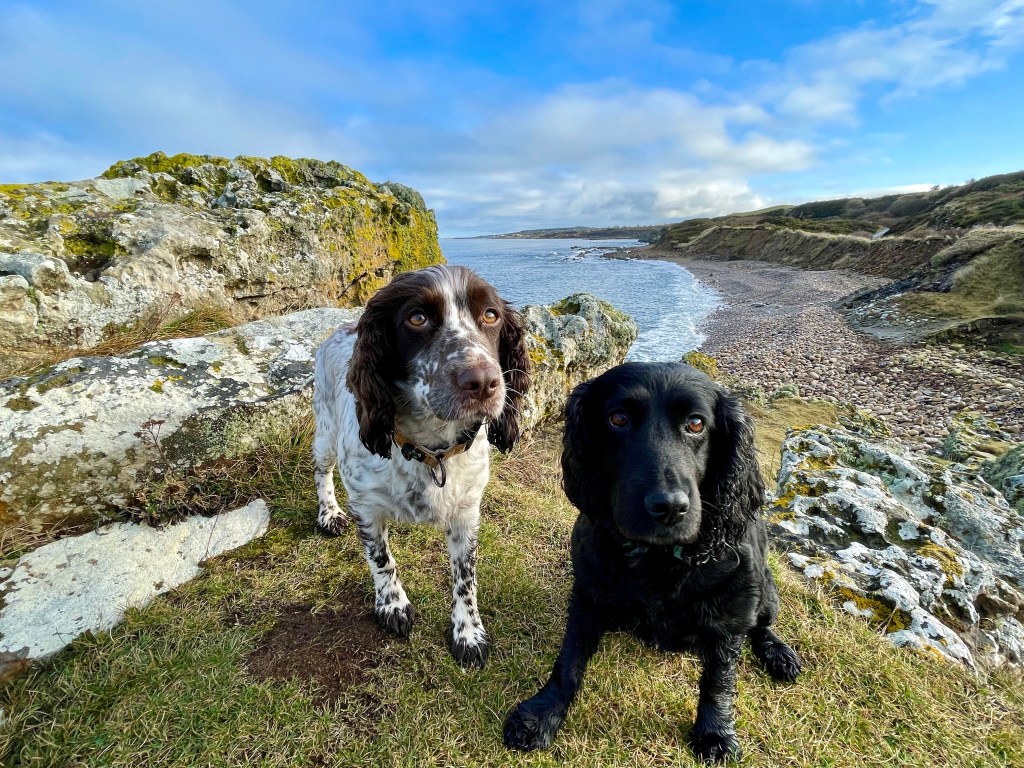
This is a fantastic coastal walk even in the rain, so I discovered anyway as Billy Connelly says there is no such thing as bad weather, just the wrong clothing.
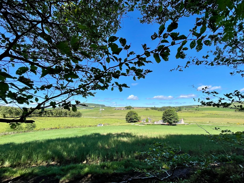
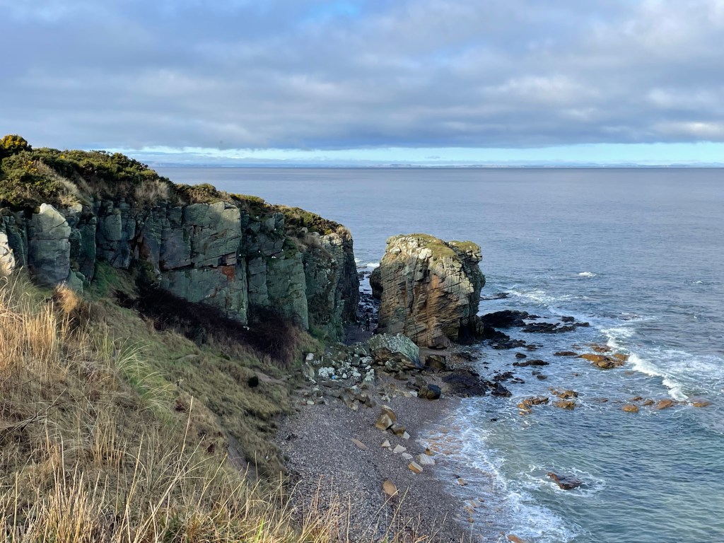
Route : Starting in the carpark you will see an opening to the left towards Gardenstown. Go through the opening and follow the path that takes you along the cliff tops with fantastic views looking back over Crovie and looking on to Gardenstown.

The path eventually takes you to a housing estate on the edge of Gardenstown, go through the gate and take a right and walk along Morven View Road. At the junction take a left on to Garden Crescent, right on to Bracoden Road which then leads you to Gamrie Brae.
Gardenstown was originally called Gamrie and is still known as Gamrie locally. It was founded in 1721 by Alexander Garden as a fishing village.
Just before the bus stop, take the road to the left along Fernie Brae. Follow this road until you reach the row of sheds. Just after the sheds, on the bend you will find a grass path to your left. Follow this path until it passes between two houses and leads you to a T-junction. Take a left here until you reach the next junction.
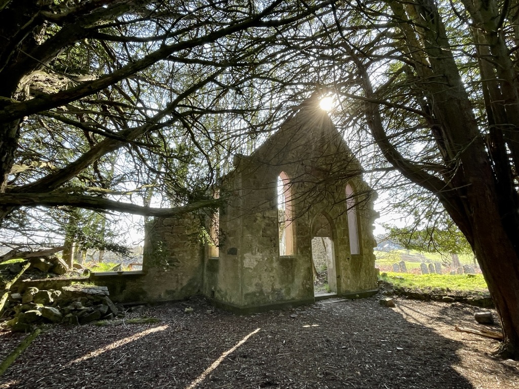
Head down Denside Lane until you reach the seafront. Take a left here and enjoy a walk along the seafront and on to the beach at the end. You can extend your walk if you want to explore the remains of St John’s Church that you can see high up in the cliffs.

Turning back at the end of the beach and once on the road, pass by the houses and head towards the harbour. At the fork on the road take a left and walk along the side of the harbour. You will find an area with picnic benches which is a great place to stop for a rest and a snack.

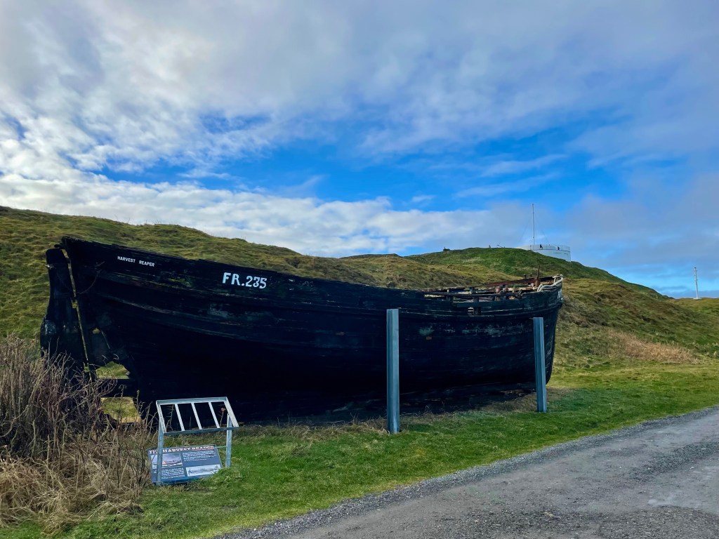
Keep going past the harbour until you see the boat mural on the side of the building. Take the opening to the right of the mural then walk through the car park, then take the next left following the sign post to the next carpark. Once you pass all the sheds you will find the sign post for Crovie.

Follow the amazing coastal path that leads you along the bottom of the cliffs until you reach the small 18th century village. On the path you will pass the memorial for those who helped with the rescue of the crew of the SS Vigilant which ran aground here in 1906. Once you reach

Crovie take your time to explore the village, walk to the end of the narrow street and admire the quirky buildings. A major storm destroyed large parts of the village in 1953 so now all that remains is a single row of cottages.

At the pier take a left and you will see an opening on the right beside the boats that are stored nearby. This path is a bit of a hike but is a shortcut to get you back to the carpark. Once off the path just follow up until you reach the carpark and where you first began and the end of the walk.