Aberdeenshire Walks, New Walk, Places to Walk

Explore Kintore

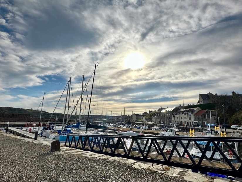
Distance: 5 miles Time: 2-3 hrs Terrain: Mix of pavement, road, grass and rough trail Access: Easy with some elevation 45Getting there: I found plenty of on street parking around the Kintore Public hall area AB51 OQP. Kintore has very good public transport links. The train station is only a short walk and there is a bus stop in the square.

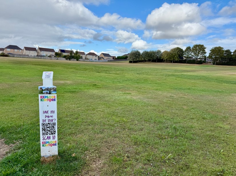
Explore Kintore is a fantastic new interactive history tour of the town. At each stop you will find a QR code to scan, giving you a short two-minute story about the place where you are standing.

I began the walk at Kintore Public Hall on School Road. Built in 1894, the hall is still run by the community and is the starting point of the tour. From here, take a left towards the church.

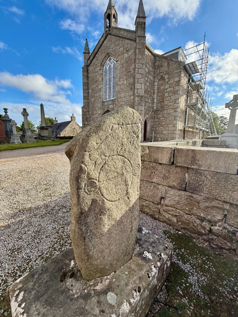
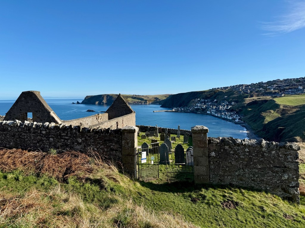
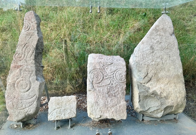
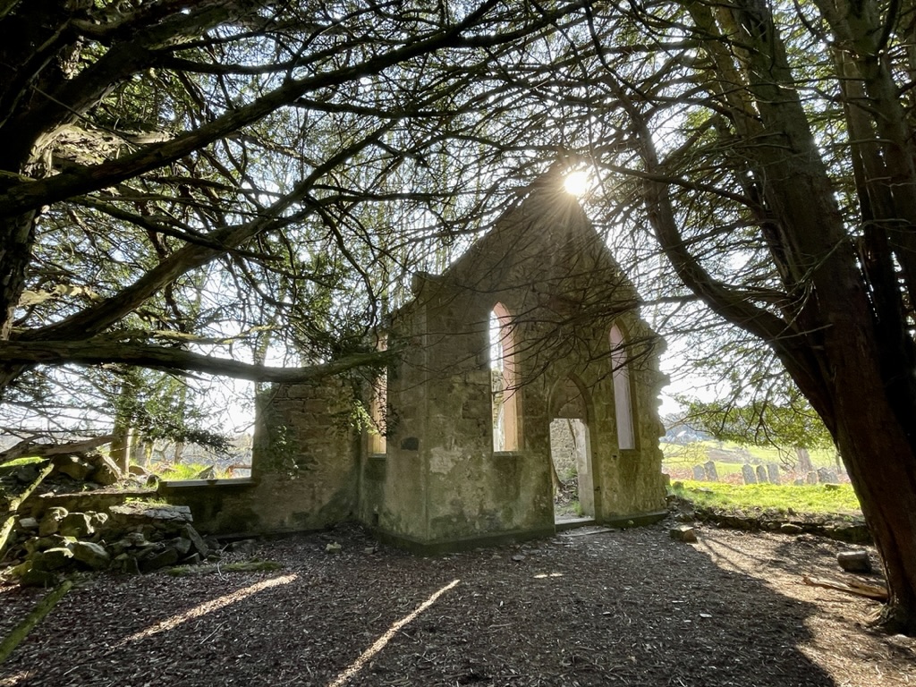
At the church you will find three QR codes. At the gates stands the war memorial, one side has a list of those who gave their lives in the Great War. Go through the gates to find records those who fell in the Second World War. Next to the gates is the Kintore Pictish Stone, discovered in the churchyard but possibly from Castle Hill. Turning around you will see Kintore Kirk, the parish church built in 1819.

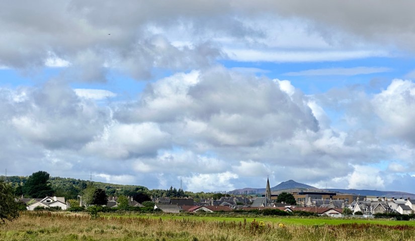
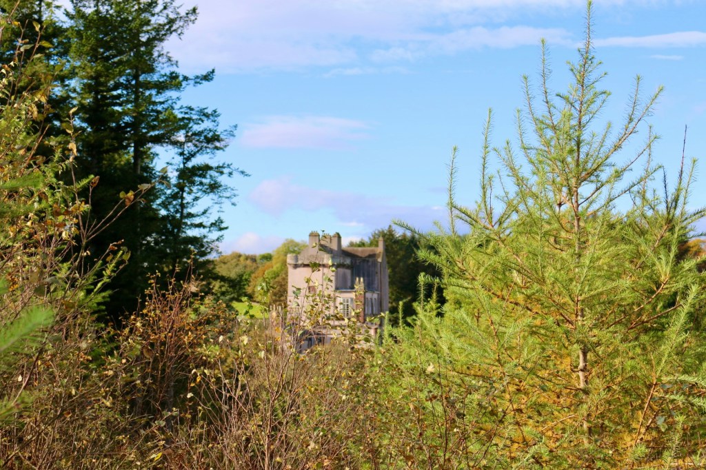
Leaving the kirkyard, turn left along Kingsfield Road until you reach the edge of town. On the right is a large white house, and just beyond it another QR code. This tells the story of the Aberdeenshire Canal, closed long ago to ma ay for the railway.I took a short detour furth along the road here to capture the view of the train tracks with Bennachie in the background.

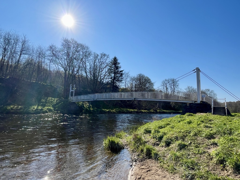
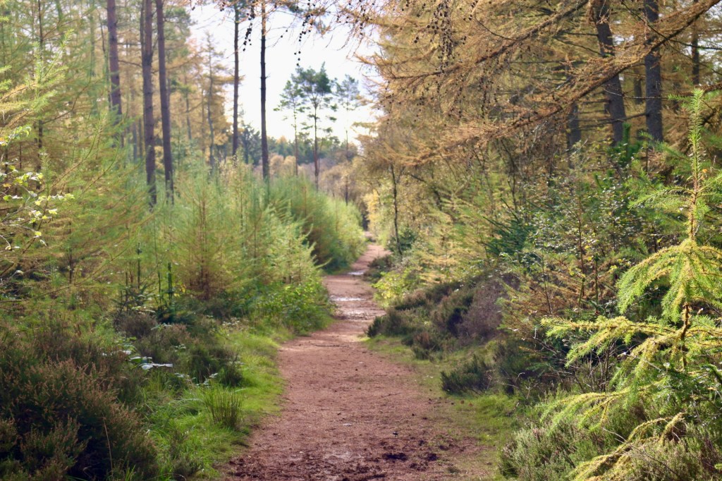
Heading back along Kingsfield Road, continue into town until you reach the road called Howieslap on your left. Turn down here and walk straight on, when you come to wooden sheds you will see a grassy track. Follow the track right to reach a footbridge over Tuach Burn.

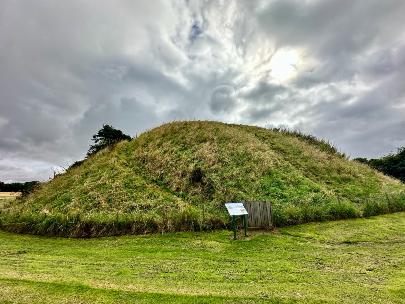
Cross the bridge and head uphill to the mast on Tuach Hill, where you can also bag a trig point. Looking back over Kintore, take the track on your left. This leads past an old quarry and the remains of Carn Ulach, a stone circle. Keep following the trail until it rejoins the main track.

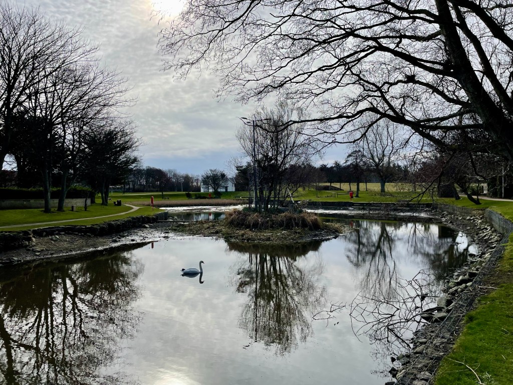
Soon you will come to a fork. Take the left path down into the park and cross another bridge, gated but accessible. After the bridge turn right to find a bench with a QR code about Tuach Hill.

From here continue straight on, then turn left at the next junction. At the end of the road, turn right and cross over. A path with bollards to the left leads you to the play park, built on the site of the Roman camp known as Deer’s Den. Another QR code here tells its story.

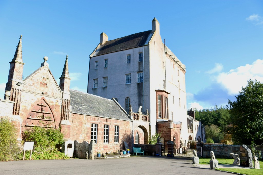
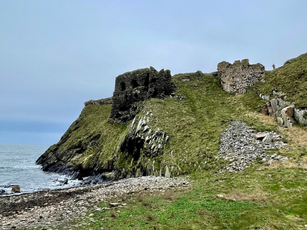
From Deer’s Den, continue along Hallforest Drive. Cross the road at the roundabout and carry on along Castle Road, under the bypass, until you reach a large house on the right. Just beyond it, turn right for Hallforest Castle.

Dating back to the 14th century, Hallforest Castle is one of the oldest in Scotland. After visiting, follow the road past the ruins, turning right, then right again, and finally left to return under the bypass.

Keep straight until you reach the roundabout.Take a left onto Hallforest Avenue, then turn left again at the T junction onto Forest Road. This leads you back to the square for the final two QR codes.

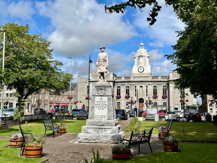
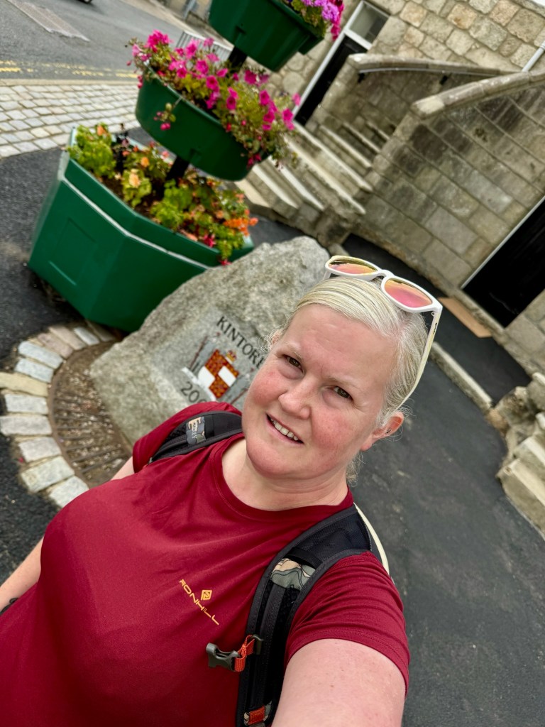
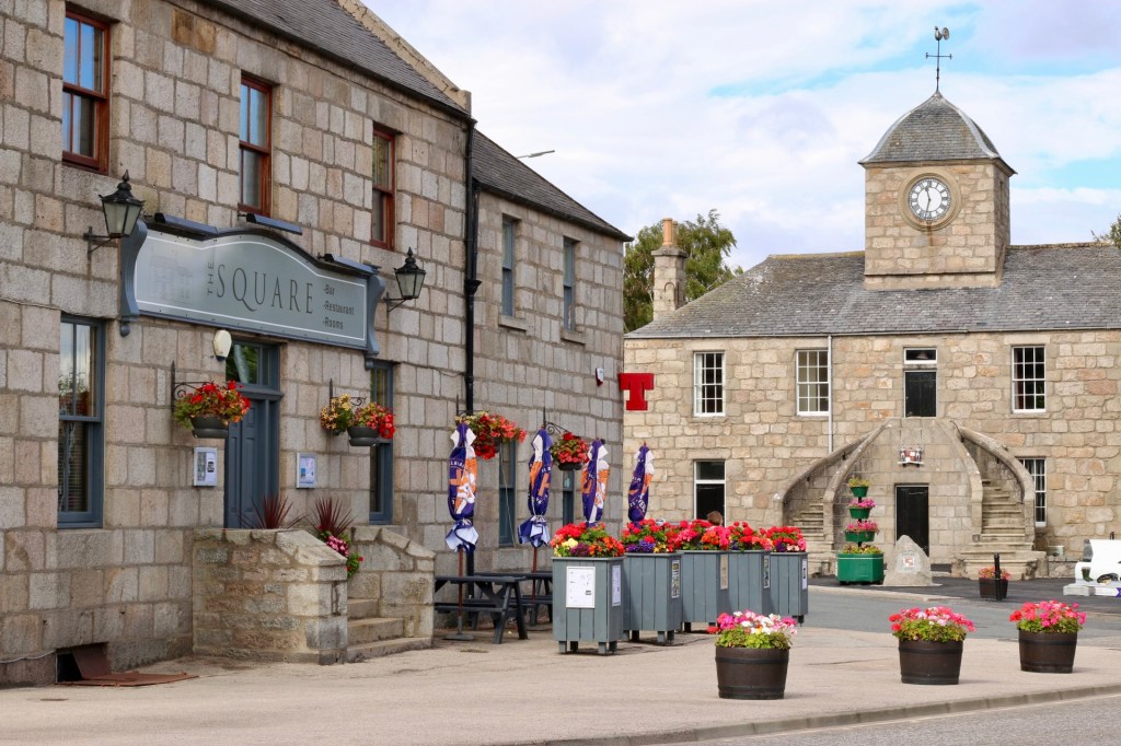
The first is at Kintore Town House, a striking building commissioned by the Earl of Kintore in the 18th century. At the front stands the Kintore Millennium Stone. The final QR code is at the Kintore Arms Hotel.

This tour is a brilliant way to uncover the history of Kintore. It is well designed, easy to follow, and brings the past to life. I hope other communities take inspiration from this project and create similar tours to celebrate their own heritage.

kintore.org.uk

Aberdeenshire Walks, Places to Walk

Kirk of Skulls & Coastal Circular, Gardenstown

Distance: 5 miles. Time: 2-3 hrs. Level: Easy, with some elevation. Terrain: A mixture of road, grass track, and well-maintained paths. Access: As you travel along the B9031 from Macduff, you’ll see a signpost for St John’s Church (AB45 3ES) on the left. Shortly after, you’ll find an old quarry on the right, which is the best place to park. The What3words location for the quarry is: ///townhouse.inhabited.note

Please note, there is no direct public transport to the start of this walk. However, you could take the No. 273 bus to Gardenstown and walk to the church from there, although the path may be overgrown in places.

This is a beautiful circular coastal walk with stunning views and a fascinating slice of local history. At its heart lies the atmospheric ruin of St John’s Church, better known as the Kirk of Skulls, perched dramatically above Gamrie Bay.

Start at the old quarry parking area and carefully cross the road to join the small road signposted for St John’s Church. Follow this road as it winds along past the church’s own small carpark. Although you can park here, the rough condition of the access road makes the quarry a better option.

Continue along the track beyond the carpark until you reach the ruined church and graveyard This is St John’s Church, a historic 11th-century site dedicated to St John the Evangelist. Most of the ruins visible today date from the early 1500s, with later additions in the 17th century.

The nickname “Kirk of Skulls” comes from a dramatic local legend linked to a battle in 1004 AD, the Battle of the Bloody Pits. According to tradition, a Viking fleet sought shelter along the Banff coast during a fierce storm. Short on supplies, around 600 Vikings landed near present-day Gardenstown, hoping to raid the area. Unbeknown to them, the Thane of Buchan had anticipated an attack and assembled a strong local force.

A brutal battle followed, ending in the Vikings’ defeat. The heads of three Viking leaders were said to have been displayed within the church until the 19th century, a gruesome detail that inspired the church’s eerie nickname.

After exploring the ruins, continue a short way beyond to a bench with a panoramic view of Gardenstown, locally known as Gamrie. Retrace your steps slightly to the map board, then head up the well-maintained footpath. There is a steady climb here as you make your way inland.

At a junction, take the left-hand path. After passing a farm, continue on the right-hand path, which leads past a row of wind turbines.

Once you reach the coastline, pause to soak in the spectacular views across the Moray Firth. Turn right here to follow the coast back toward Gardenstown, with views of Crovie appearing along this stretch.

Eventually, the path swings back inland. Before you reach the previous junction, take the left turn which leads you back down toward the church. From there, simply follow the road back to the quarry, where your walk ends.

This circular route offers a rich mix of history, coastal beauty, and peaceful rural scenery. It’s an ideal walk for a sunny morning or afternoon, just be sure to bring sturdy footwear and a camera for those views.

Aberdeenshire Walks, Places to Walk

The Riverside and The Bass, Inverurie. 

Distance : Approx 4 miles. Time : 2hrs. Terrain : Pavements, road and riverside paths that may be muddy so wear sensible footwear. Access : Car parking is available at Burn Lane car park AB51 3SH that is just round the corner from the start of the walk (Car Parking is a couple of pounds). There are regular buses from Aberdeen to Inverness that stop outside the town hall at the start of the walk. The train station is only a short distance away.

Inverurie is one of the largest towns in Aberdeenshire and is packed with plenty of independent shops. Only a short walk from the town centre, you will find yourself in the countryside, with numerous opportunities to discover interesting historical sites along the way.

Start the walk from the Town Hall, heading across the road to the triangular-shaped Garden of Remembrance and War Memorial. Continue along the High Street until you reach the fork in the road. Take a right here onto St James’s Place and keep going until you reach the roundabout. Cross over the road at the island, and you will find the entrance to the riverside paths on your left. Walk down to the riverside and take a left under the Don Bridge.

Before 1790, Inverurie could only be reached by a ford across the River Don. The bridge that stands now was built in 1924. When I was there, I was greeted by many ducks. I’m not sure if they were hoping I had something for them to eat.

Keep following the path. Some areas are narrow and a little overgrown, so be careful along the way. Once you reach the railway bridge, head under it. You will now be in an area called the Stanners. This is the earliest site of habitation in Inverurie, where Bronze Age artefacts have been found. The townspeople gradually moved to Inverurie’s present location to avoid floods. Follow the narrow path that runs along the riverside. The path eventually turns to the left, continue until you reach the wooded area.

When you come to the bridge, take a left until you find the opening in the fence on your right. Be careful here as this takes you onto the road. When it is safe to do so, cross the road and go through the gates into the cemetery. You will find two large mounds known as The Bass. These were formed from melting ice during the Ice Age. A motte-and-bailey castle was built on top of the Bass in the 12th century by the Earl of Huntingdon. The mound was reshaped and cut in two in the 1800s; the smaller mound is known as Little Bass. Between the mounds, you will find four Pictish symbol stones dating from 400-900 AD. They are said to have been found built into the walls of the old parish church.

Beside the Bass, there is an opening in the wall where you can get back onto the path. Keep following the side of the cemetery wall until you return to the riverside path. Take a right here, and you will soon come back to the waterside. A path winds its way along the River Urie, I spotted swans on the water along here and a sparrowhawk in the trees. The river will take a left turn, and you will come into a wooded area. Here, you will find a path that turns left and heads back into the town. You will get an excellent view of Inverurie with Bennachie behind it.

Follow this path until you reach the railway crossing and when it is safe to do so, go through the gate and cross the line. Go straight ahead, passing the car park, houses, and buildings, until you return to the High Street. Take a right to return to the Town Hall and the end of the walk.

Aberdeenshire Walks, Places to Walk

Banff and Whitehills Circular

Distance: 5 ½ – 6 miles Time: 2 – 3 hrs Level: Easy with some elevation Terrain: Mix of pavement, track, road, and beach Access: Car parking is available at the Quayside car park (AB45 1HQ). Regular buses run between Elgin and Aberdeen, with the nearest bus stop located at Chalmers Hospital, just a short distance from the start of the walk.

This is a wonderful coastal walk from the Aberdeenshire town of Banff to the neighbouring village of Whitehills. Before setting off, check the tidal times so you can enjoy walking along the beach.

From the Quayside car park, head towards the beach, taking the coastal path along Scotstown. Watch for cormorants drying their feathers on the rocks, and you may even be lucky enough to spot dolphins passing by.

Soon, you’ll come to steps leading down to the beach if you’ve timed the tide right. Banff Links is a fantastic beach to walk along, and on a sunny day, it’s lovely to take a wee paddle as you stroll. When you reach the end of the caravan park, take the ramp on your left to return to the path.

Follow the path and go over the footbridge until you reach a fork. Take a right here, and shortly you’ll arrive at Blackpots Playpark and Harbour.

The small, disused harbour was built in the late 18th century. The playpark was a favourite spot for my kids when they were younger, and I have fond memories of enjoying fish and chips with my mum while the kids played. fter the playpark, you’ll come upon the Fisherman’s & Seafarers’ Memorial and Whitehills Marina.

Continue along the road, passing Downies Fish, and keep an eye out for the “Light the North” lighthouse.

Stay on Seafield Street until you reach the post box and telephone box then take a left along Loch Street. Continue on Loch Street until you leave Whitehills. Soon, you’ll come to the coastal path on the left, take this path back towards Banff.

Along the coastal path, you’ll find the Red Well. The name comes from a spring that emerges from the ground, leaving red deposits, possibly due to iron content. The nearby beehive-shaped structure is thought to have been built by the Romans.

After the Red Well, continue on the path until you reach a fork just before the footbridge. Take the fork to the right and follow the track to a junction. Take a left here, follow the road over the bridge, and continue until the road splits.

Take the road on your right, which will lead to the Banff Links car park. Turn right and walk through the car park. At the other end, you’ll find a path with a gate. Go past the gate and continue along the path. After the third blue pavilion, you’ll come to another fork; take the track to the left, passing a small stone building (possibly an old icehouse).

Stay on this path as it winds through Scotstown. You’ll pass behind a row of houses; at the end of these, you’ll see some sheds. Take a left here to return to the Quayside car park.

Next to the car park, you’ll find the recently upgraded Banff Harbour, which is worth a visit before finishing your walk. You’ll enjoy lovely views of Macduff from the harbour.

Aberdeenshire Walks, Places to Walk

Gardenstown and Crovie Coastal Circuit

Distance: 3 ¾ miles Time: 2hrs Level: Easy with some elevation Terrain: Some road walking, grass path, coastal path and beach. Access: Arrive by car, parking at the Crovie Viewpoint car park AB45 3JQ. Unfortunately, I was unable to find any bus routes for this walk. The coastal path is tidal so please check the tide times before you set off. The coastal path has just recently been clearer after being closed from a landslide. Using the path is at your own risk!

This is a fantastic coastal walk even in the rain, so I discovered anyway as Billy Connelly says there is no such thing as bad weather, just the wrong clothing.

Route : Starting in the carpark you will see an opening to the left towards Gardenstown. Go through the opening and follow the path that takes you along the cliff tops with fantastic views looking back over Crovie and looking on to Gardenstown.

The path eventually takes you to a housing estate on the edge of Gardenstown, go through the gate and take a right and walk along Morven View Road. At the junction take a left on to Garden Crescent, right on to Bracoden Road which then leads you to Gamrie Brae.

Gardenstown was originally called Gamrie and is still known as Gamrie locally. It was founded in 1721 by Alexander Garden as a fishing village.

Just before the bus stop, take the road to the left along Fernie Brae. Follow this road until you reach the row of sheds. Just after the sheds, on the bend you will find a grass path to your left. Follow this path until it passes between two houses and leads you to a T-junction. Take a left here until you reach the next junction.

Head down Denside Lane until you reach the seafront. Take a left here and enjoy a walk along the seafront and on to the beach at the end. You can extend your walk if you want to explore the remains of St John’s Church that you can see high up in the cliffs.

Turning back at the end of the beach and once on the road, pass by the houses and head towards the harbour. At the fork on the road take a left and walk along the side of the harbour. You will find an area with picnic benches which is a great place to stop for a rest and a snack.

Keep going past the harbour until you see the boat mural on the side of the building. Take the opening to the right of the mural then walk through the car park, then take the next left following the sign post to the next carpark. Once you pass all the sheds you will find the sign post for Crovie.

Follow the amazing coastal path that leads you along the bottom of the cliffs until you reach the small 18th century village. On the path you will pass the memorial for those who helped with the rescue of the crew of the SS Vigilant which ran aground here in 1906. Once you reach

Crovie take your time to explore the village, walk to the end of the narrow street and admire the quirky buildings. A major storm destroyed large parts of the village in 1953 so now all that remains is a single row of cottages.

At the pier take a left and you will see an opening on the right beside the boats that are stored nearby. This path is a bit of a hike but is a shortcut to get you back to the carpark. Once off the path just follow up until you reach the carpark and where you first began and the end of the walk.

Aberdeenshire Walks, Places to Walk

The Fetternear & Shaking Brig Circuit, Kemnay

Distance: 5 miles Time: 2 – 2½ hrs Level: Easy with some elevation Terrain: Pavement, tarred road, woodland track and grass track. Access: Arrive by car, parking available at the car park on Aquithie Road, AB51 5SS. There are several buses that have drop off and pick ups in Kemnav. check out more details online.

This beautiful walk starts off in the village of Kemnay before heading into the Aberdeenshire countryside with some hidden treasures along the way. Starting the walk from the village car park take a right along Aquithie Road, then take the next right down Bridge road. Head straight along Bridge Road till you get to the junction of riverside road take a right here and go over the bridge, you will soon find the gates to Fetternear on your right.

Go through the gates then pass by the gate house and follow the road with the River Don on your right hand side.

The river will turn to the right, shortly after the track will turn left. You will come to a marker post directing you over the bridge to the Shakin Brig but first carry on going straight on to find the Bishops Palace.

Bishop’s Palace is a large medieval ruin on Fetterhear Estate. The palace was originally built in the early 1200’s by Bishop Ramsay of Aberdeen for the Bishops’ of Aberdeen. It underwent several remodelling and enlargement over the centuries. In 1550 the palace became the seat of the Leslie family, a fire in 1919 made it no longer habitable and now stands fenced and only viewable from the front.

Leaving the palace, retrace your steps back to the marker post directing you to Shakin Brig, here you will enjoy the beautiful countryside, about ¾ miles along the track you will see an opening to the right and an old dry-stone wall.

Follow the track and vou will find the ruined remains of St Ninian’s chapel dating back to 1878 the present chapel was built on top of the ancient foundations of the original chapel that dates back to the 12th century. There is a small graveyard with some very old gravestones.

Back on the track again keep going straight on, you will soon get closer to the edge of the river and the Shakin Brig will come into view. Keep on the track till you come to the road where you will turn right and head towards the footbridge.

This is a nice spot to stop for a picnic. I had some swans passing by when I was there.

Once over the bridge take a right from here, you will walk along the road so be aware that there may be some traffic. There are some cracking views of the river along the way. At Mill Farm follow the road round to the left till you reach Dalmadilly Ponds. This is a great opportunity to do a bit of birdwatching, there is some seating, and I did spot a hide at the pond on the left hand side of the road.

Follow the road in between the ponds which will take vou back to the main road, then turn right back towards Kemnay. There is a pavement all the way into the village but be aware of the traffic here. Follow this road all the way back into Kemnay and just keep going till you return to the car park where you began.

Aberdeenshire Walks, Places to Walk

Delgatie Castle and Woods

Distance: 2 ¾ miles Time – 1 ½ hrs Time: 1.5-2 hours Level: Easy with a little elevation Terrain: Well walked forestry paths can be a little wet under foot in places. Access: Arrive by car. To reach the start of the walk from Turriff take the A947 towards Banff.

Approx 1 mile along the road there is a sign post for Delgatie Castle to the left take this road for approx 1 ½ miles.The Castle is well sign-posted and can be seen from the road on the right. You will turn into the entrance to where the Castle is sign posted and there is ample parking and a forestry information board. Delgatie Castle and Woods is a stunning walk that takes in not only a walk in the woods, you also go past Delgatie trout fishing pond where you can see ducks and swans, then round the grounds of the stunning Castle that dates back to 1030. What is visible today is from around 1570 with later wings added in 1743.

Delgatie Castle from the Woods

Route: From the car park you will see some steps at the left, head up the steps following the red way markers. Just after the steps there is a path to the right that is worth a detour where you will find the hidden ice house which would have been used to store perishable foods in bygone years. Back on the main path there is another detour to the right, a great opportunity to get your camera out as there is a great view of the Castle. On the main path again continue straight uphill and into the woods. The path will take a right then a left, keep following the main route with the marker posts.

Delgatie woods

The path will curve to the right again and you will come to a junction, you take a left here following the blue marker post. Keep your eyes peeled for red squirrels, along with plenty of other wildlife, while you are walking throughout the woods. I was lucky to see a large bird, possibly a buzzard as I left in the car. The path carries on through the woods until it will take a right and it will carry on close to the edge of the woods. To your left there will be great views of Bennachie, there is a small detour path where you can take great photos of not only Bennachie but if you look to your right, Ben Rinnes is also visible. The path eventually reaches a car park to the left, continue downhill until you reach a track, you take a left here on to the road. You will pass by the Fishing pond and keep a look out for ducks and swans on the water. Shortly after you pass the pond you will return to the carpark.

Delgatie trout fishery

At the carpark you have now an opportunity to walk round the Castle grounds, please be aware no dogs are allowed around this area. If you choose to go round the grounds take a left in the carpark past the Cottage and Dovecot. Head up the stairs, the road takes a loop right round the Castle grounds before you will come over the cattle grid then return back to the carpark.

Delgatie Castle

You can extend your visit and take a tour round the Castle and treat yourself to tea and cakes in the Castle’s very own tea room the Laird’s Kitchen. Open 10am – 4pm daily.

https://delgatiecastle.com/

Aberdeenshire Walks, Places to Walk

Exploring Portsoy

This is a great walk exploring round the sights of Portsoy! Nothing too taxing just a stroll round seeing some of the sights!

Distance: 2 1/4 miles Time: 1hr Terrain: Mix of grass path, pavement and tarred road Access: Arrive by car and head for the The Sail Loft, AB45 2RQ there is parking spaces between the Sail loft and the beach area. There are regular no 35 Stagecoach buses that drop off in the Main Street.

Route: Leaving the car park head towards the bridge and take the road on the left towards the graveyard. At the graveyard you will see a path that skirts round the edge of the graveyard to the side of the burn. Walk along the grass path till you reach the bridge. Head to the right here and keep going.

At the next fork take the path to the right and you will come to a great view of the Sail loft, beach and the opening of St Combs well. Keep going till you get to the silver gate where you can go and check out the well!

St Combs well is said to be first built in the 7th Century. The well 2ft diameter, and still flowing, is now covered by a stone cupola with an arched entrance. It was restored in 1893.

St Combs well

Back on the path head down the steps and back towards the caravan park. Follow the road along past the front of the caravan park. Keep going past the Salmon bothy till you reach the new harbour. Take a left at the harbour along to the old harbour and the dolphin sculpture.

Old Harbour

Once you have explored the harbour area walk up North High Street till you get to the square and then along South High Street till you get to Main Street. From here cross over and head for the sign post for Loch of Soy.

Once through the carpark take the path round the Loch keeping your eyes pealed for paddling ducks and swans. Don’t forget to check out the wooden building beside the Loch that used to be the old railway station building now used as the Scout Hut.

Loch of Soy

Once round the Loch go back out the carpark and take a wander along the Main Street checking out some of the lovely shops or have some Portsoy Ice-cream. You will come to the signs for the Caravan park follow the signs and return to the start.

Aberdeenshire Walks, Places to Walk

Walk to Findlater Castle

Findlater is a ruined castle in Aberdeenshire and only a couple miles from Cullen. It is the old seat of the Earls of Findlater and Seafield, sitting on a 50 foot-high cliff overlooking the Moray Firth.

Distance: 1 mile Time: 1hr Level: Easy but may be more difficult if the path is muddy some elevation. Terrain: Grass track and narrow possibly muddy path. Access: Arrive by car heading east from Cullen on the A98 turn left up road sign posted to Findlater Castle. The road takes a sharp corner to the right then take the next left after the first house. Take a left at the house and there is parking round the back of the large barns. Postcode is AB45 2UD. Please keep dogs on leads at all time.

Route: Once parked take the track to the right past the back of the barns. The track will turn left, keep going till you come to the junction.

Round Doocot or Dovecot next to a ploughed field
Findlater Doocot

You can take a left at the junction to head along to the Findlater Doocot or head straight on to the Castle.

View of ruined castle in the cliffs with beach to left hand side
Findlater Castle from view point

There is a fab viewing area which if you don’t want to go any further you can get a great view and some cracking photos.

Castle ruins with sea to left hand side

Carefully take the path down to watching where you walk and explore the area.

Door way of ruined castle with coastal view

Why don’t you finish off with a visit to the stoney beach to the side for the full Findlater experience.

View of castle from the beach
Findlater from the beach