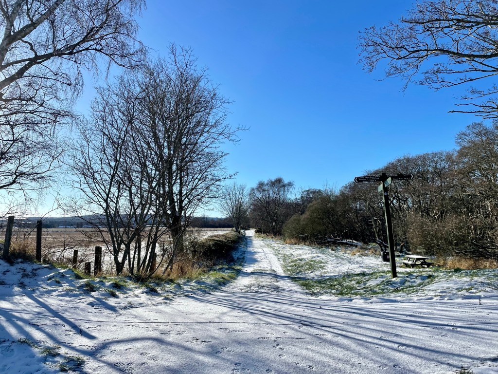

Distance: 2 ¾ miles Time – 1 ½ hrs Time: 1.5-2 hours Level: Easy with a little elevation Terrain: Well walked forestry paths can be a little wet under foot in places. Access: Arrive by car. To reach the start of the walk from Turriff take the A947 towards Banff.
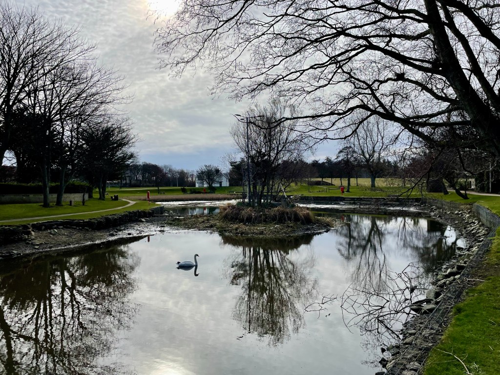
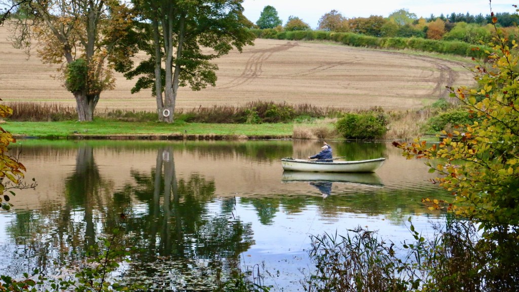
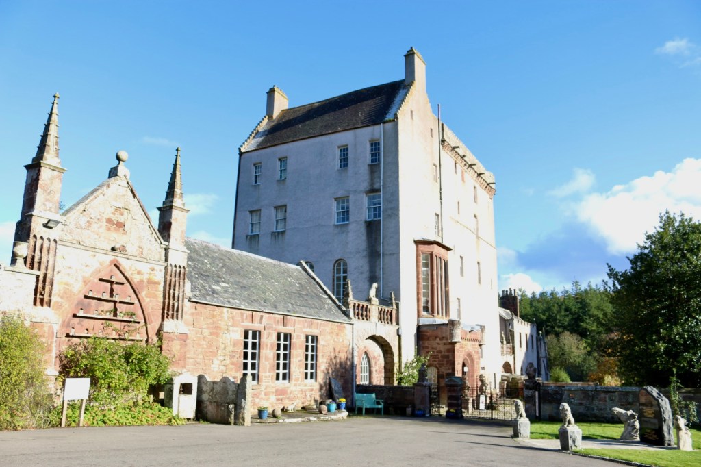
Approx 1 mile along the road there is a sign post for Delgatie Castle to the left take this road for approx 1 ½ miles.The Castle is well sign-posted and can be seen from the road on the right. You will turn into the entrance to where the Castle is sign posted and there is ample parking and a forestry information board. Delgatie Castle and Woods is a stunning walk that takes in not only a walk in the woods, you also go past Delgatie trout fishing pond where you can see ducks and swans, then round the grounds of the stunning Castle that dates back to 1030. What is visible today is from around 1570 with later wings added in 1743.
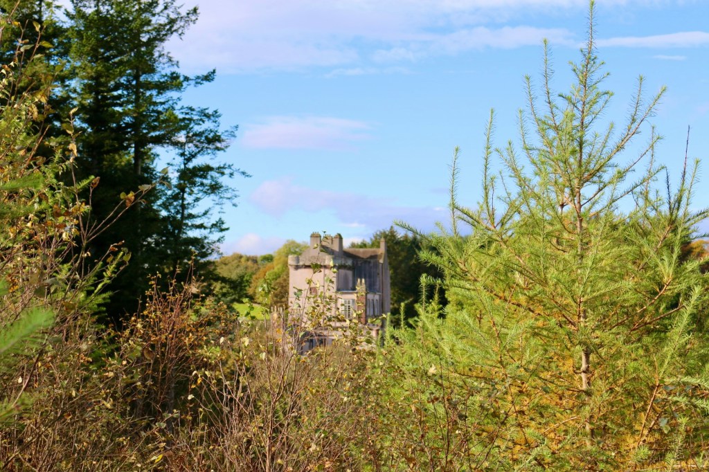
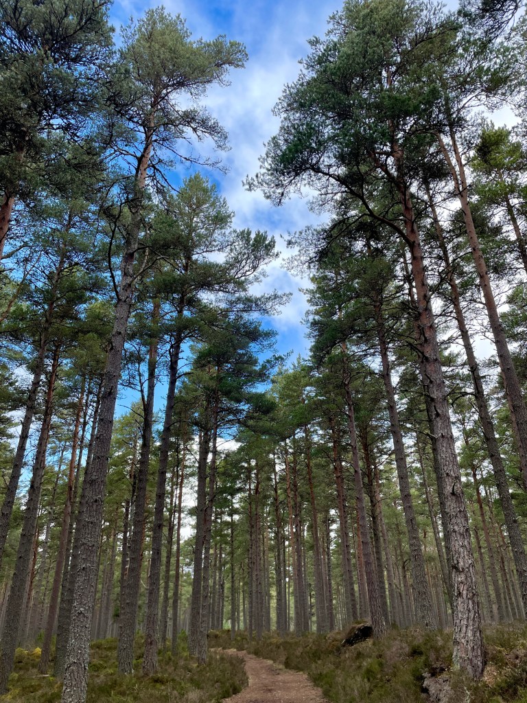
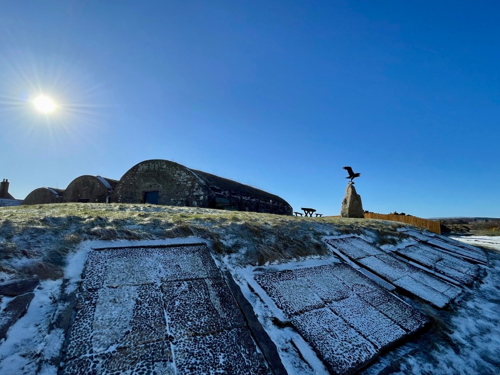
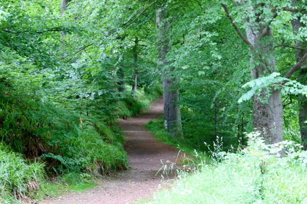
Route: From the car park you will see some steps at the left, head up the steps following the red way markers. Just after the steps there is a path to the right that is worth a detour where you will find the hidden ice house which would have been used to store perishable foods in bygone years. Back on the main path there is another detour to the right, a great opportunity to get your camera out as there is a great view of the Castle. On the main path again continue straight uphill and into the woods. The path will take a right then a left, keep following the main route with the marker posts.
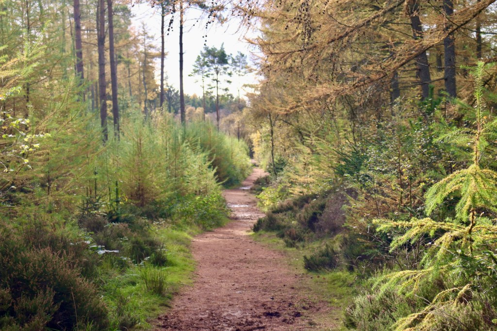
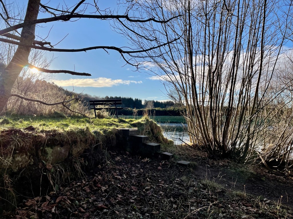
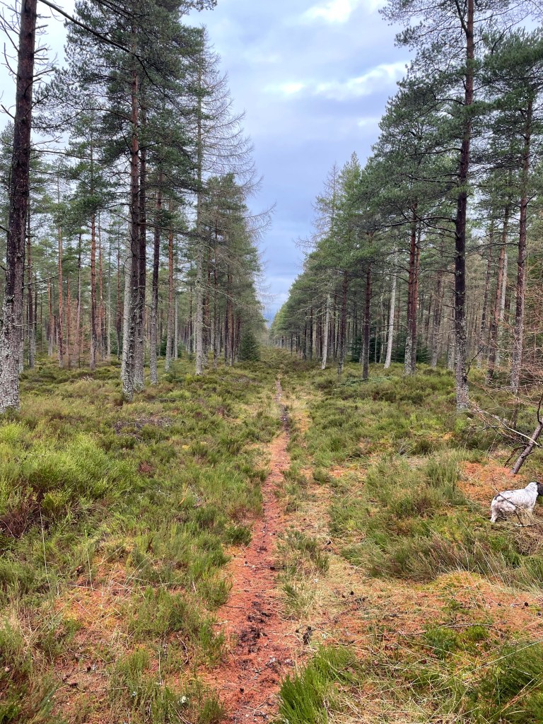
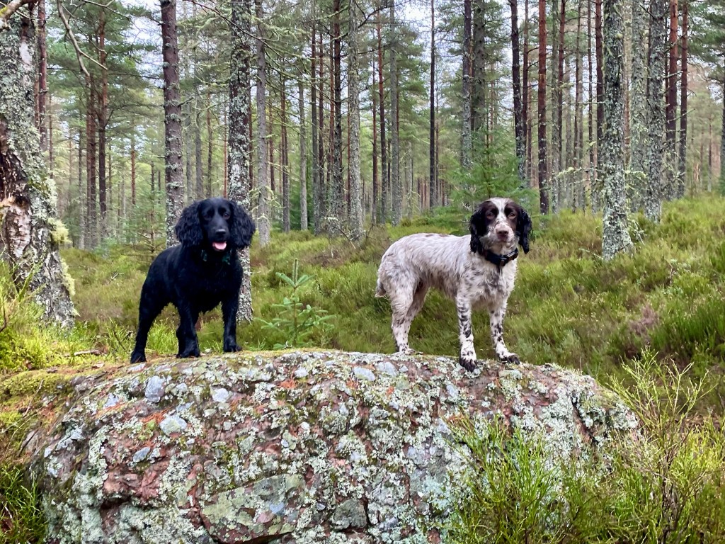
The path will curve to the right again and you will come to a junction, you take a left here following the blue marker post. Keep your eyes peeled for red squirrels, along with plenty of other wildlife, while you are walking throughout the woods. I was lucky to see a large bird, possibly a buzzard as I left in the car. The path carries on through the woods until it will take a right and it will carry on close to the edge of the woods. To your left there will be great views of Bennachie, there is a small detour path where you can take great photos of not only Bennachie but if you look to your right, Ben Rinnes is also visible. The path eventually reaches a car park to the left, continue downhill until you reach a track, you take a left here on to the road. You will pass by the Fishing pond and keep a look out for ducks and swans on the water. Shortly after you pass the pond you will return to the carpark.
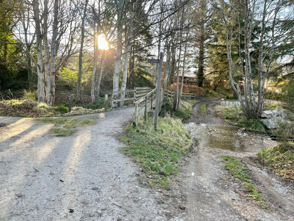
At the carpark you have now an opportunity to walk round the Castle grounds, please be aware no dogs are allowed around this area. If you choose to go round the grounds take a left in the carpark past the Cottage and Dovecot. Head up the stairs, the road takes a loop right round the Castle grounds before you will come over the cattle grid then return back to the carpark.
You can extend your visit and take a tour round the Castle and treat yourself to tea and cakes in the Castle’s very own tea room the Laird’s Kitchen. Open 10am – 4pm daily.