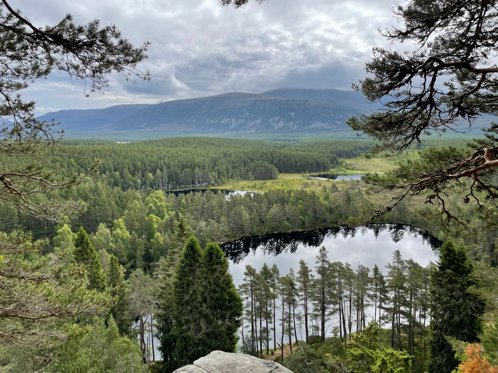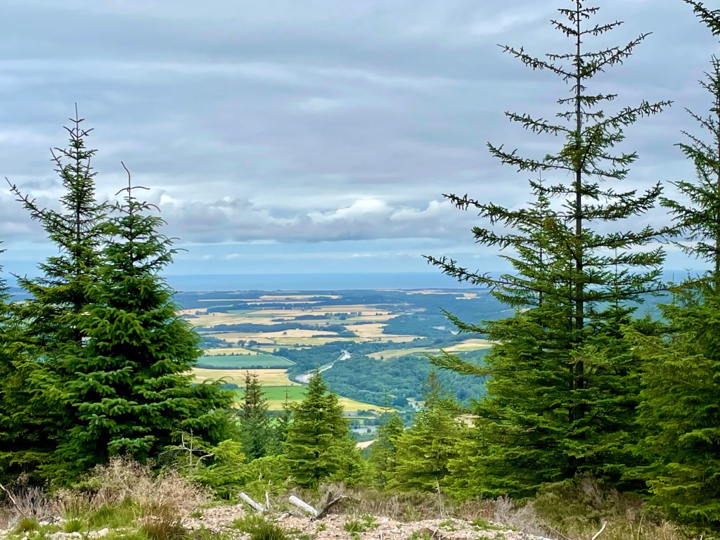

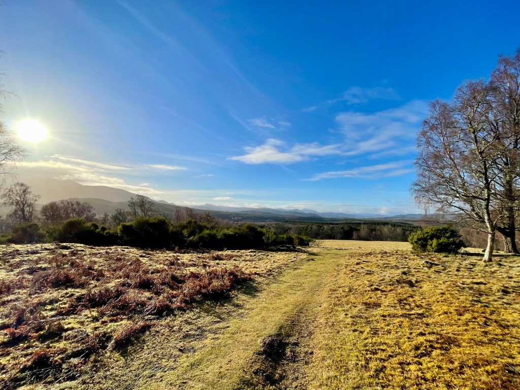
This is a stunning walk with epic views of the Cairngorm’s. Great walk if you want just a wee hill to climb rather than a munro!
Distance: Around 3.75 miles Time: 1 1/2-2hrs Level: Easy with some steep sections Terrain: Well maintained path, tar, grass track and woodland track. Access: Arrive by car parking at the entrance to Dalraddy campsite PH22 1QB.
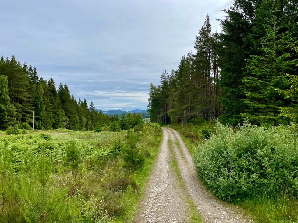
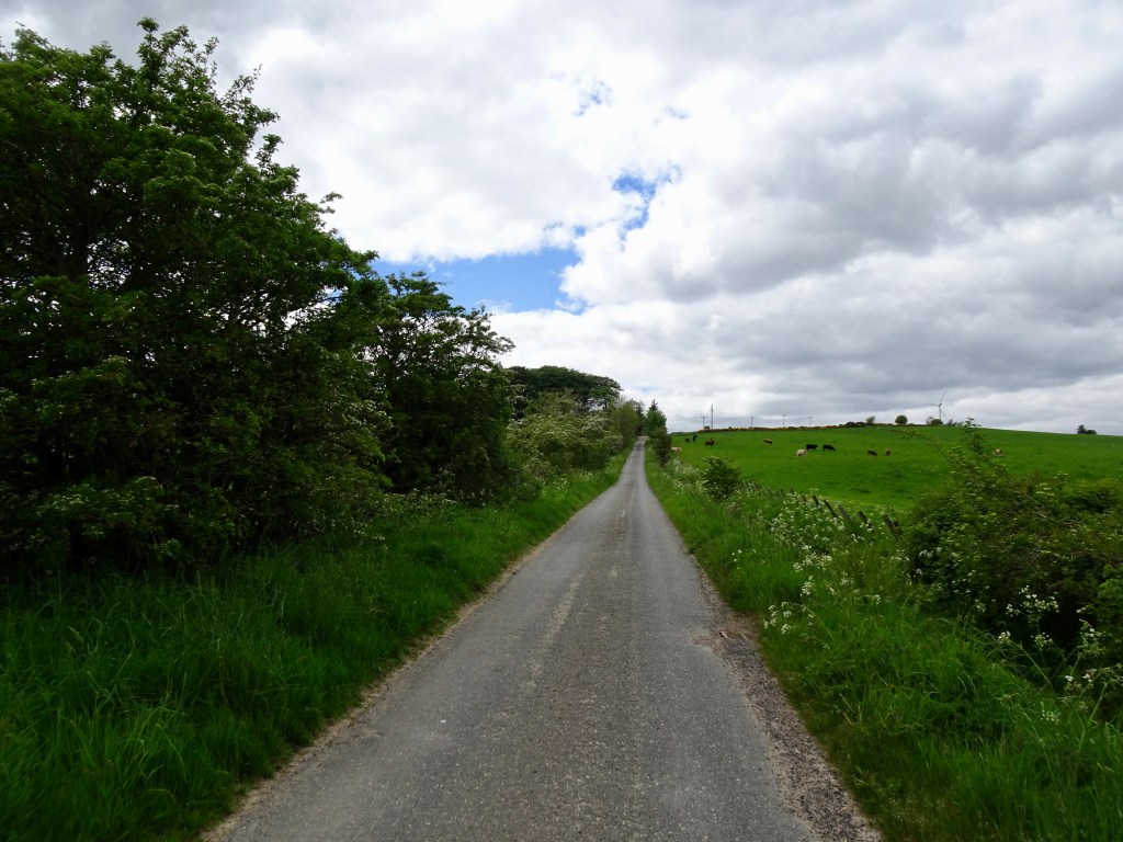
Route: Starting in the carpark go to your left through the quad bike area and head under the railway bridge. Take a left after the bridge and head through the gate. Keep going till you reach the junction take a right here and head along the tarred road.
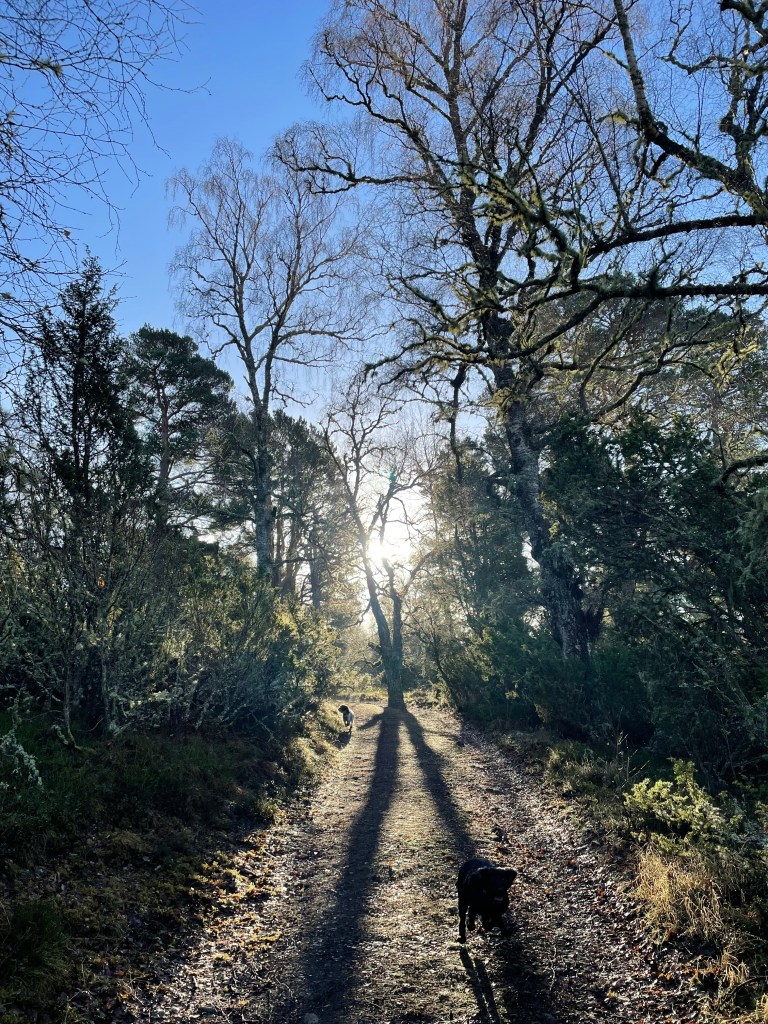
You will reach a fork in the road take the left hand track. Go up the track till you reach the gate and the grass park. Follow the path to the left edge of the park till you reach the opening on your left and the track that takes you in to the woods.
Follow the track till you reach the fork. Take the left fork here and continue straight on. Keep a look out for the Waterloo cairn to your right that is worth stopping at. The cairn was erected by Marquis of Huntly, August 11, 1815 in memory of Robert Macara of 42nd Royal Highlanders, also Of Col. John Cameron of 92nd or Gordon Highlanders and their brave countrymen who glorious fell at the battle of Waterloo June 1815.

Not long after the Waterloo cairn the monument will come in to view. The track does go down hill a little before climbing back up.
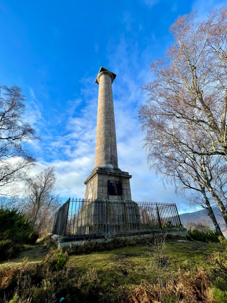
The track winds its way through the trees till you come to the Duke of Gordon Monument that commemorates the last Duke of Gordon who died in 1836. Once you have explored the area you return the way you came taking in the beautiful views.