Moray Walks, New Walk, Places to Walk

Hiking up Ben Rinnes

Distance: 4 3/4 miles Time:2 1/2hrs – 4hrs Level: Moderate with lots of elevation. Access: Arrive by car. Parking available at the foot of the hill at AB55 4DA. No public transport.

Ben Rinnes is 841 metres high and is classed as a Corbett. It is a mountain so please be mindful of this and be prepared before setting off. Make sure you have suitable clothing, footwear, food and water. The weather can be very different at the bottom as it is at the top.

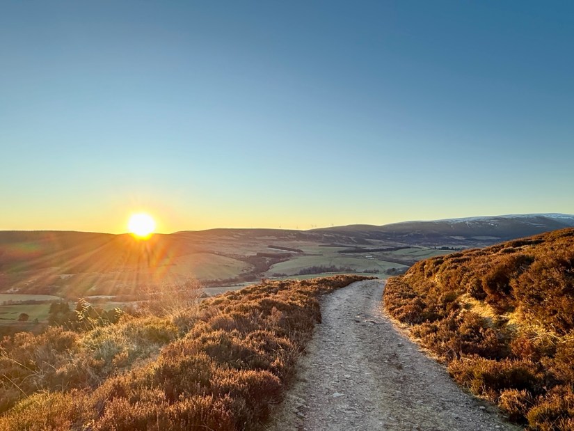
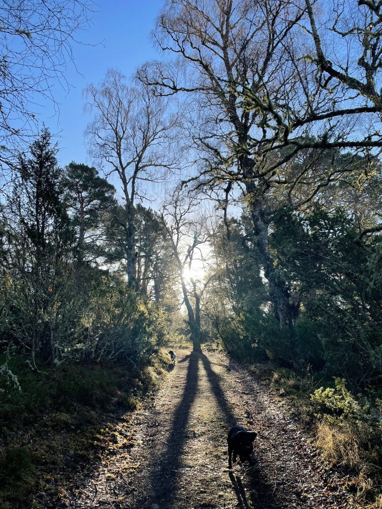
From the carpark head through the gate. Here you will follow the path as it meanders up the first small hill known as Round Hill. At the top of Round Hill, the path flattens out briefly. Then you start to ascend Roy’s Hill. You will continue on the well made path throughout.

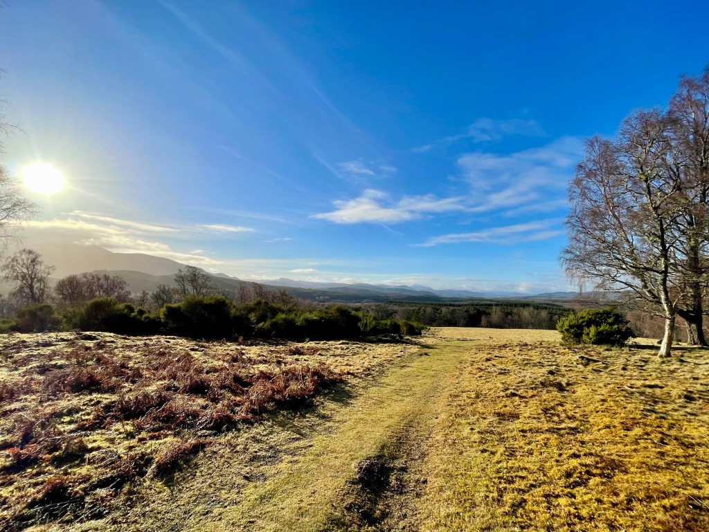
As you reach the summit of Roy’s Hill, the path flattens out again. You will get a welcome breather before your final ascent to the summit of Ben Rinnes.

The last section is the most challenging with the mix of path and steps on the way up. This is a great opportunity to stop and take some photos. It will give you a chance to catch your breath.

When you reach the top, head round the back of the tor (large rock formation). Then climb the last wee bit to get to the summit trig point. If you are lucky enough to have a calm, clear day, you will enjoy stunning views across Moray. You can also see the Cairngorms on such days.

To ascend, you will retrace your steps down Ben Rinnes. Then, head down Roy’s Hill and Round Hill before returning to the carpark. This marks the end of the hike.

Highlands Walks, Places to Walk

Walk to the Duke of Gordon Monument near Aviemore

This is a stunning walk with epic views of the Cairngorm’s. Great walk if you want just a wee hill to climb rather than a munro!

Distance: Around 3.75 miles Time: 1 1/2-2hrs Level: Easy with some steep sections Terrain: Well maintained path, tar, grass track and woodland track. Access: Arrive by car parking at the entrance to Dalraddy campsite PH22 1QB.

Route: Starting in the carpark go to your left through the quad bike area and head under the railway bridge. Take a left after the bridge and head through the gate. Keep going till you reach the junction take a right here and head along the tarred road.

Track with trees at each side and the sun shining through the trees

You will reach a fork in the road take the left hand track. Go up the track till you reach the gate and the grass park. Follow the path to the left edge of the park till you reach the opening on your left and the track that takes you in to the woods.

Track with view of mountain and blues skies
Looking back at the opening

Follow the track till you reach the fork. Take the left fork here and continue straight on. Keep a look out for the Waterloo cairn to your right that is worth stopping at. The cairn was erected by Marquis of Huntly, August 11, 1815 in memory of Robert Macara of 42nd Royal Highlanders, also Of Col. John Cameron of 92nd or Gordon Highlanders and their brave countrymen who glorious fell at the battle of Waterloo June 1815.

Large cairn with arch and plaque
The Waterloo Cairn

Not long after the Waterloo cairn the monument will come in to view. The track does go down hill a little before climbing back up.

Large monument with fence all around
The Duke of Gordon Monument

The track winds its way through the trees till you come to the Duke of Gordon Monument that commemorates the last Duke of Gordon who died in 1836. Once you have explored the area you return the way you came taking in the beautiful views.

View of the cairngorm mountains with sun shining
Cairngorms