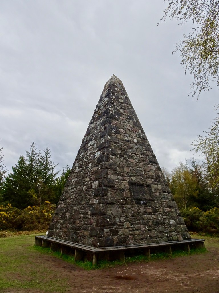

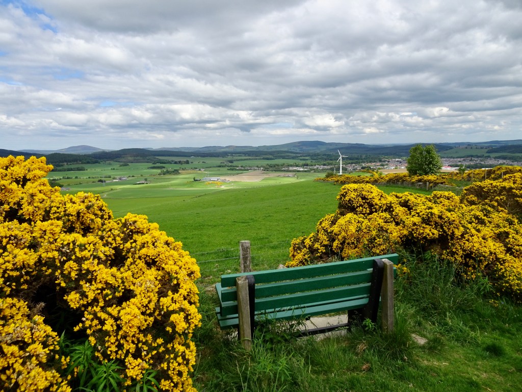
The Clashmach hill is a great short hill walk from the centre of the town of Huntly which has a beautiful glow of yellow in the Spring from the gorse that covers it. At the summit you will be treated to amazing views of Huntly and beyond. Although it is a relatively short walk it is a vigorous climb. There is a annual race up and down the hill in July and I believe the fastest time was under 24 mins in 2021.
Distance: 4.5 miles Time : 1.5 to 2 hrs Terrain: Mix of pavement, road and rougher path, sometimes slightly over ground in the summer but well-trodden. Level: Easy with some elevation and a little steep on some parts. Access: Arrive by car or public transport. There are good train and bus links between Aberdeen and Inverness. Car parking is available at the Market Muir car park AB54 8JY.
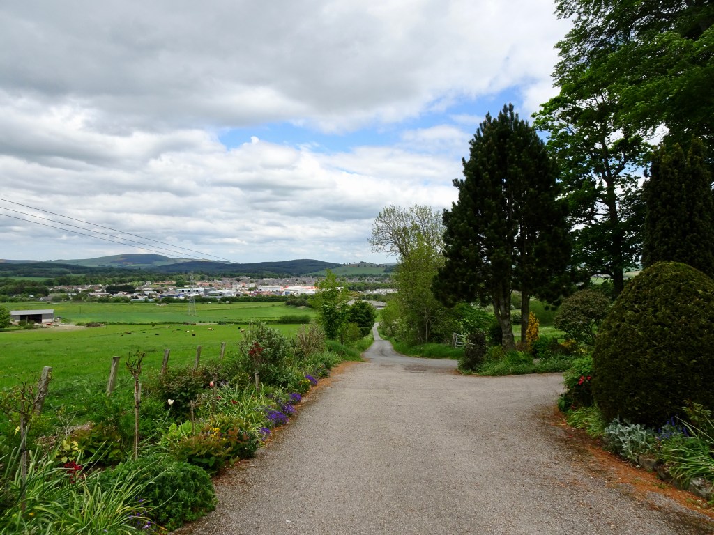
Route: The walk starts at the Market Muir car park. As you leave the car park take a right heading towards the roundabout. When you get to the roundabout keep to the right and carefully cross the A96 and head for the opening for the minor road. Pass by The Mart & Market cafe on your right and AM Philips on your left.
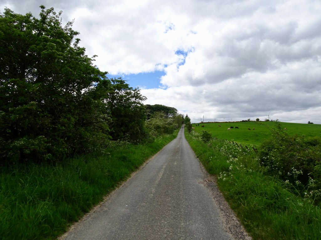
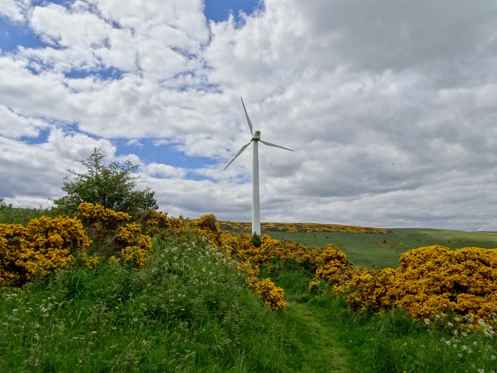
Head straight up passing the bungalow on your left. The road narrows and becomes a path and after a short time takes a sharp left. Continue along the path where it will take another left turn and head up the hill. You will pass a wind turbine along the way.
Keep heading straight on and go through the gate. You will will come to a second gate once through it walk up the path that heads to the left.

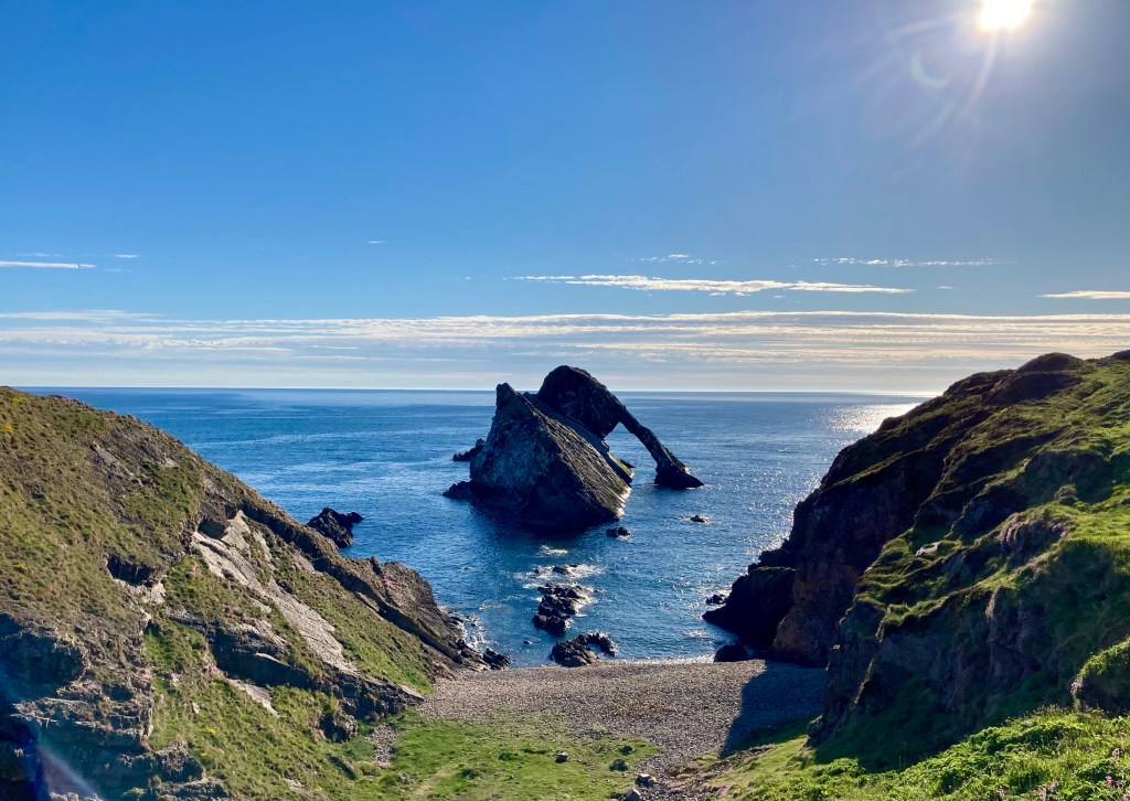
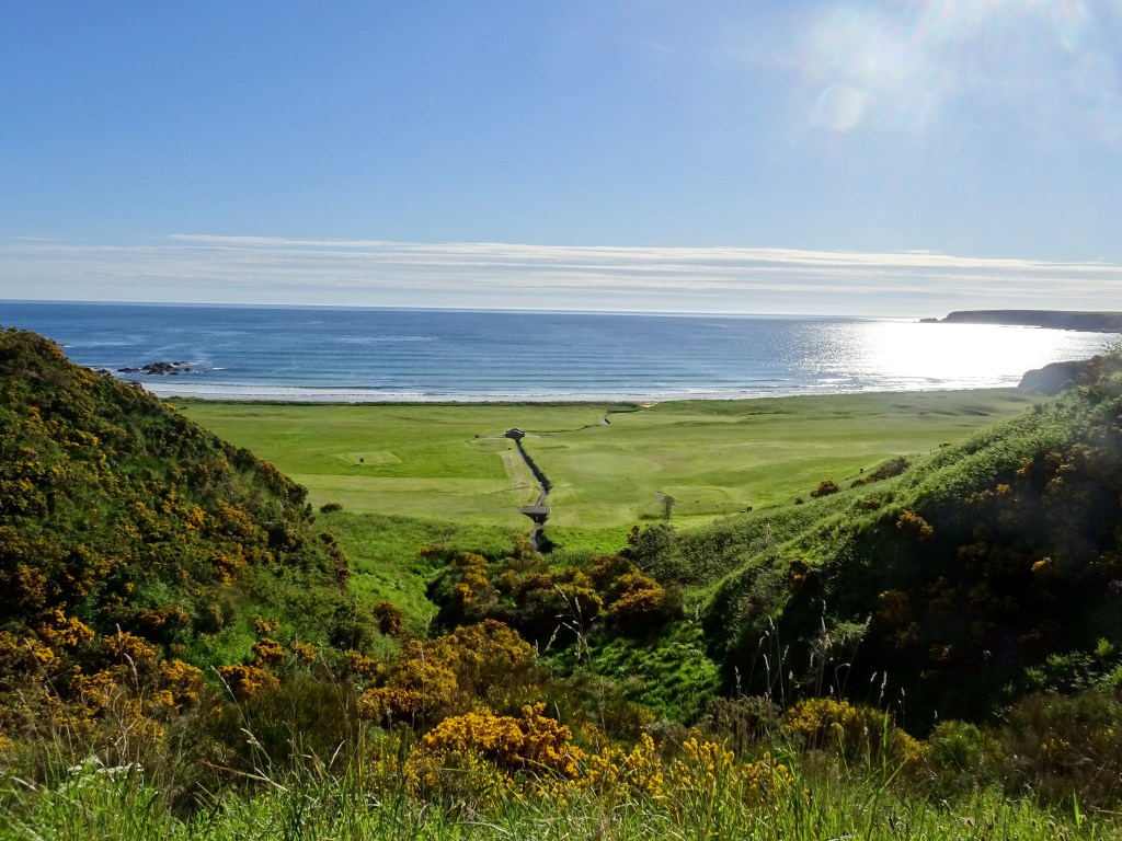
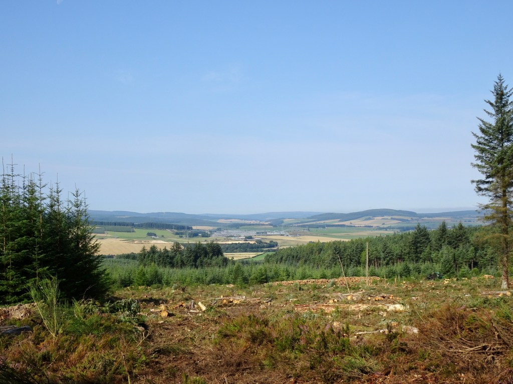
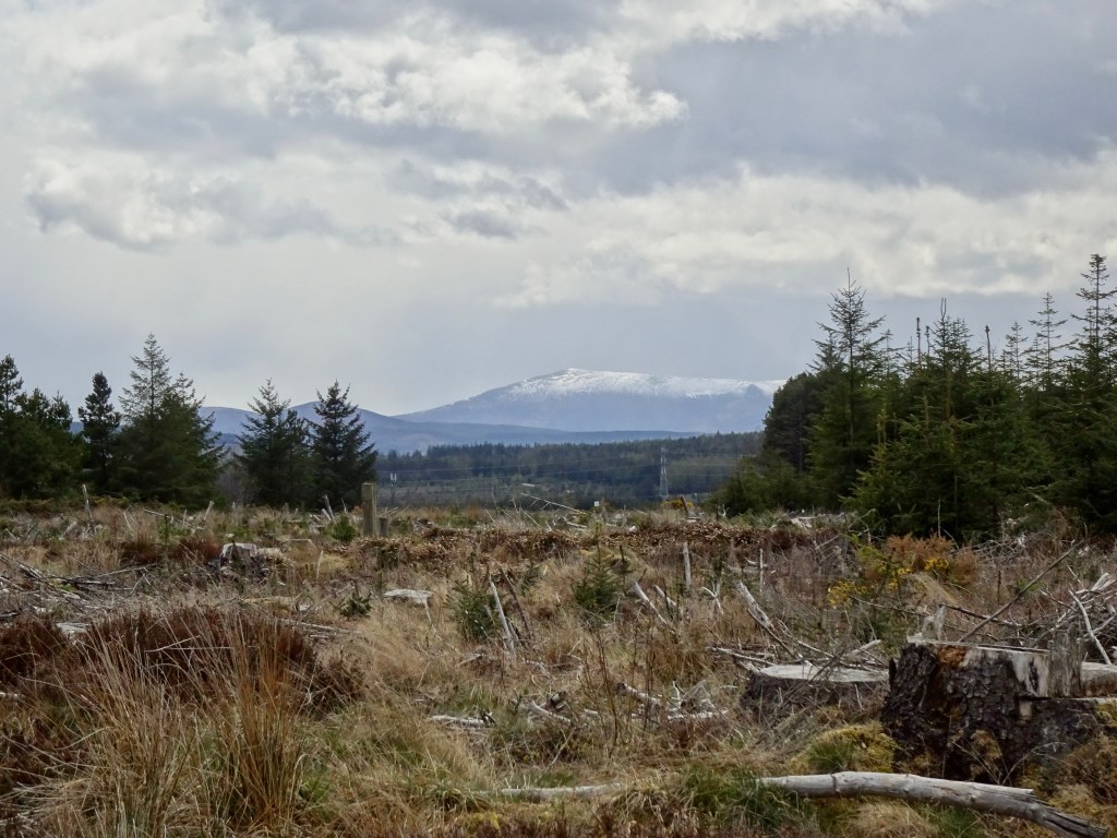
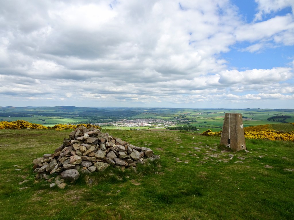
Soon you will see the trig point and cairn. You can admire the 360 degree views of Huntly and the hills around including Ben Rinnes.
Don’t forget to take a selfie at the summit before retracing your steps and enjoying the views on the way back down.
On a calm day the summit is a great spot for a picnic or you could stop off at The Market Cafe for coffee and cake.